
- Email link
- Contact editor
- Report error
- Share:


Reader's photos from the Flood and Storms of 2008
Tuesday, June 10, 2008
June 2008 has been a historic one in Greene County -- two tornadoes and a major flood disaster. Include: name of photographer (so we can give you credit) and a brief description of the photo -- time, location and tell us what we are seeing. Send submissions to editor/general manager Chris Pruett at cpruett79@hotmail.com or cpruett@gcdailyworld.com or assistant editor Nick Schneider at schneider.nick@gmail.com or nschneider@dailyworld.com.
-
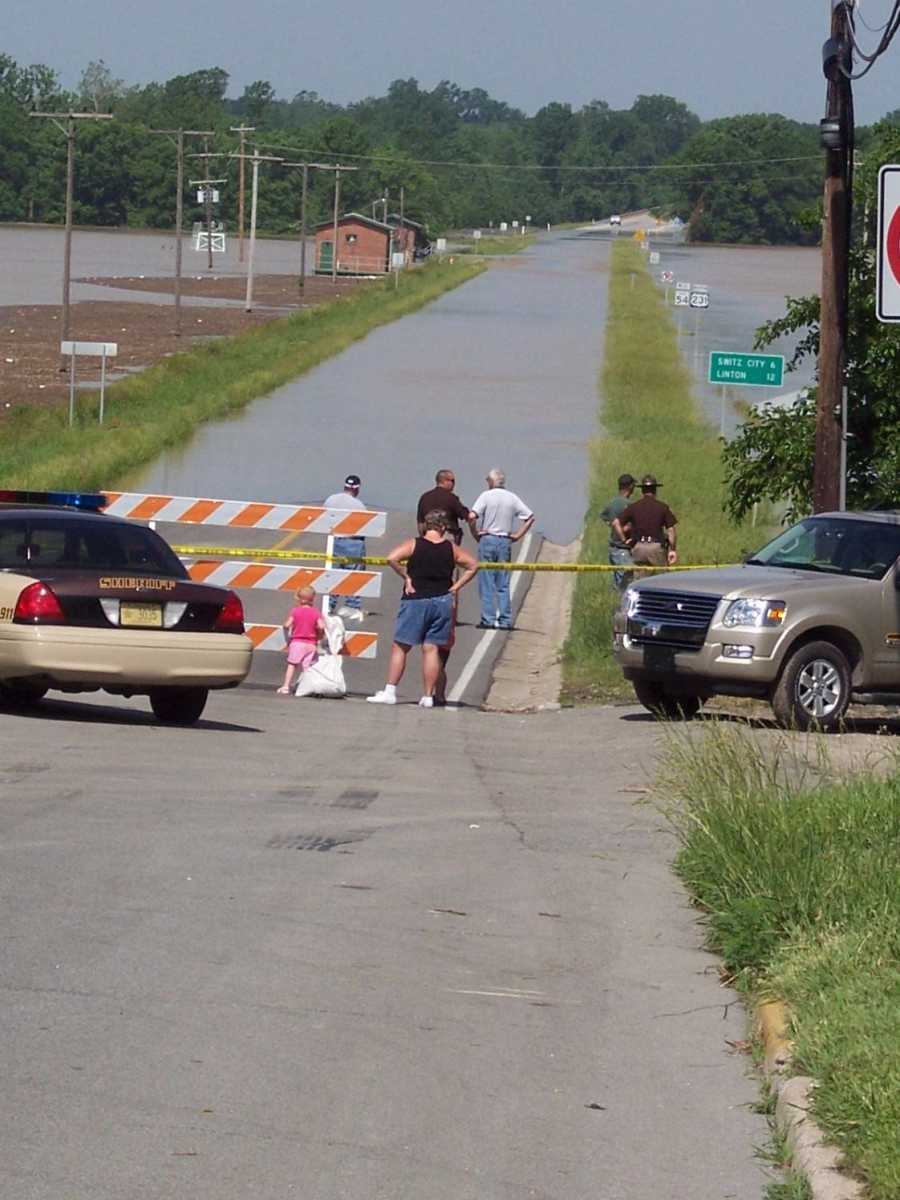
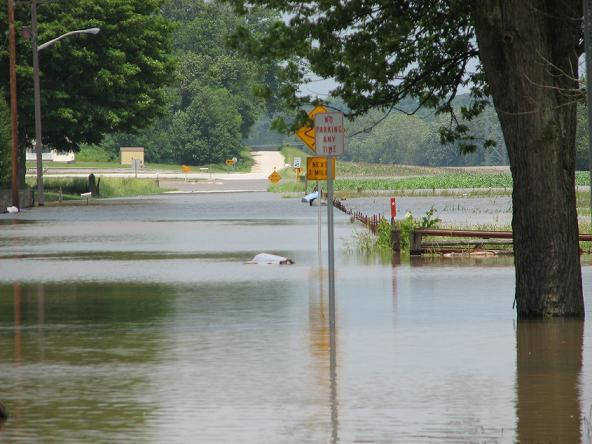
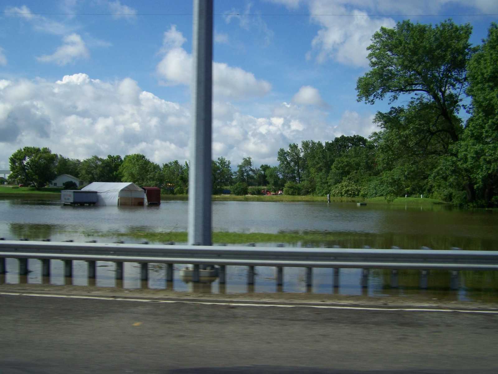
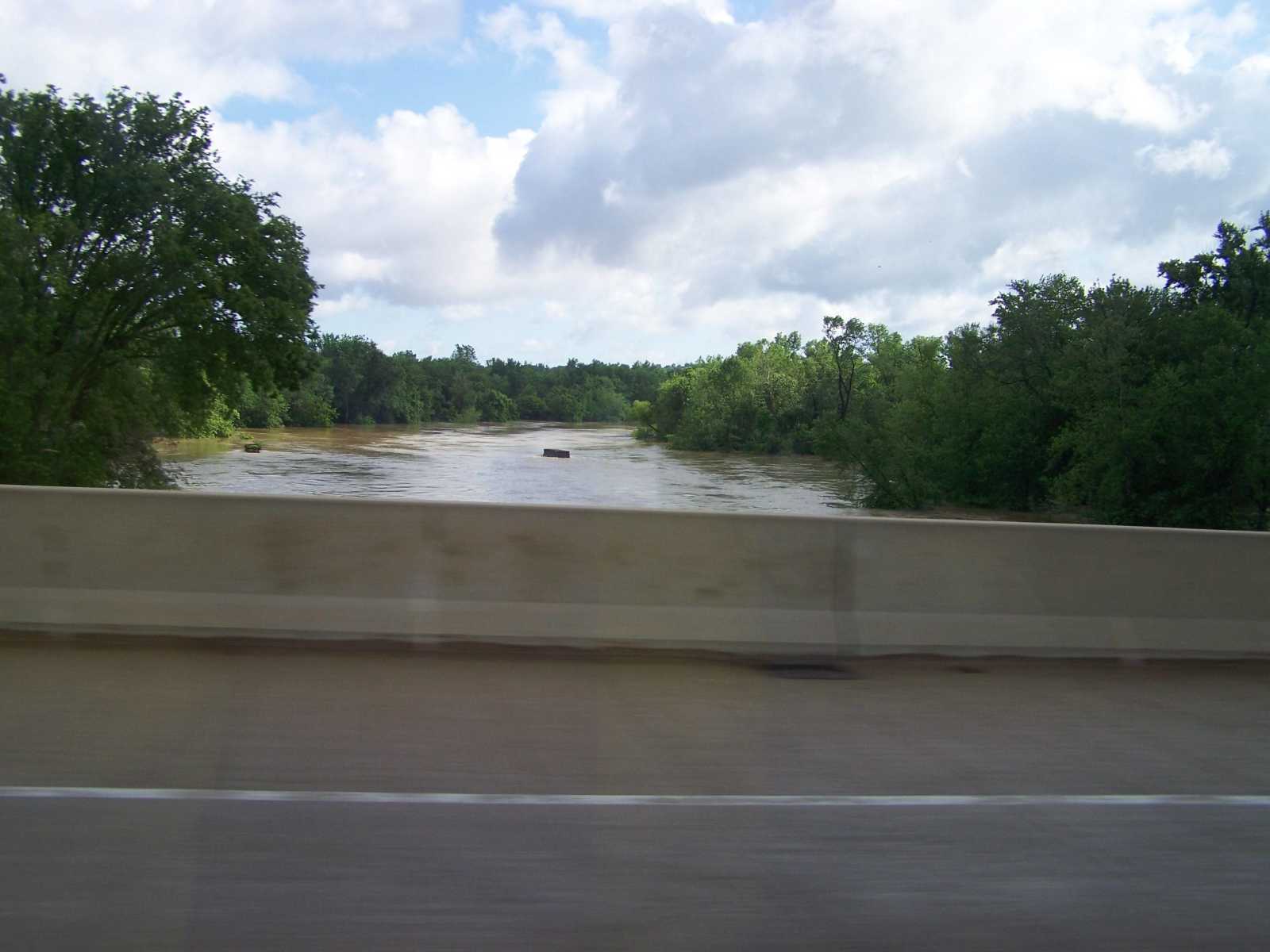
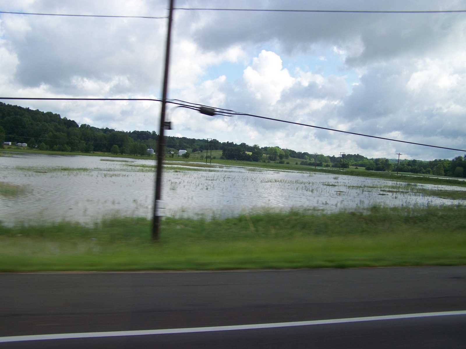
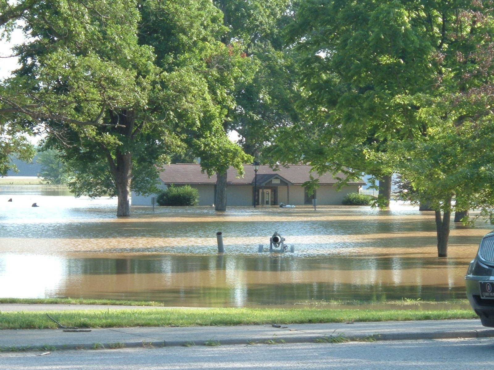
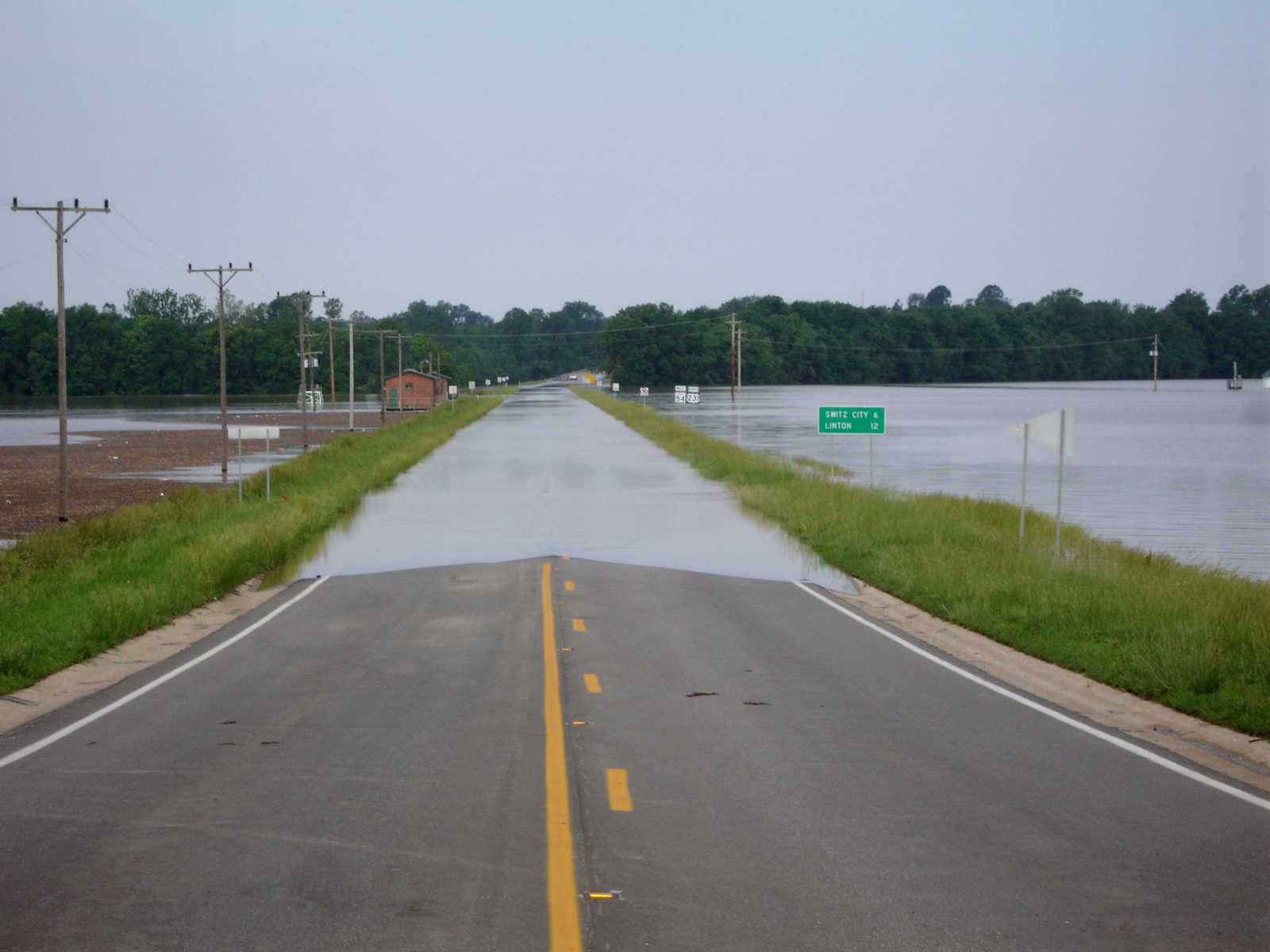
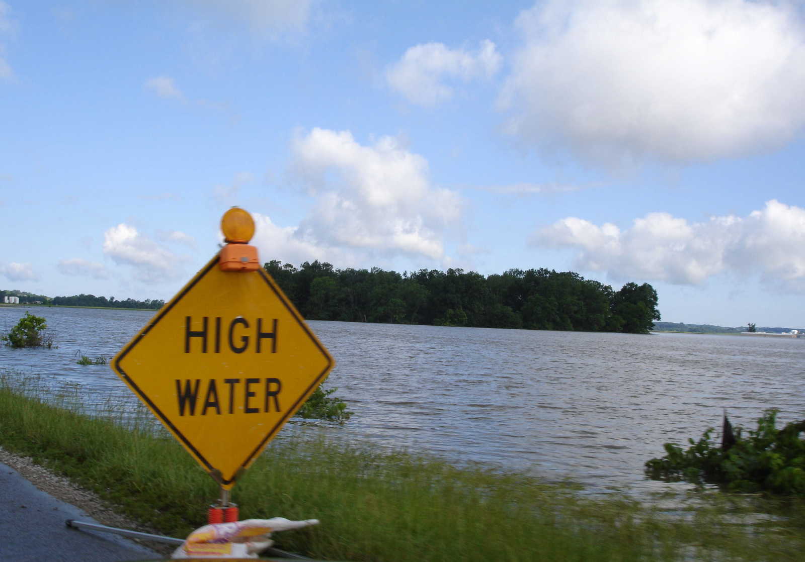
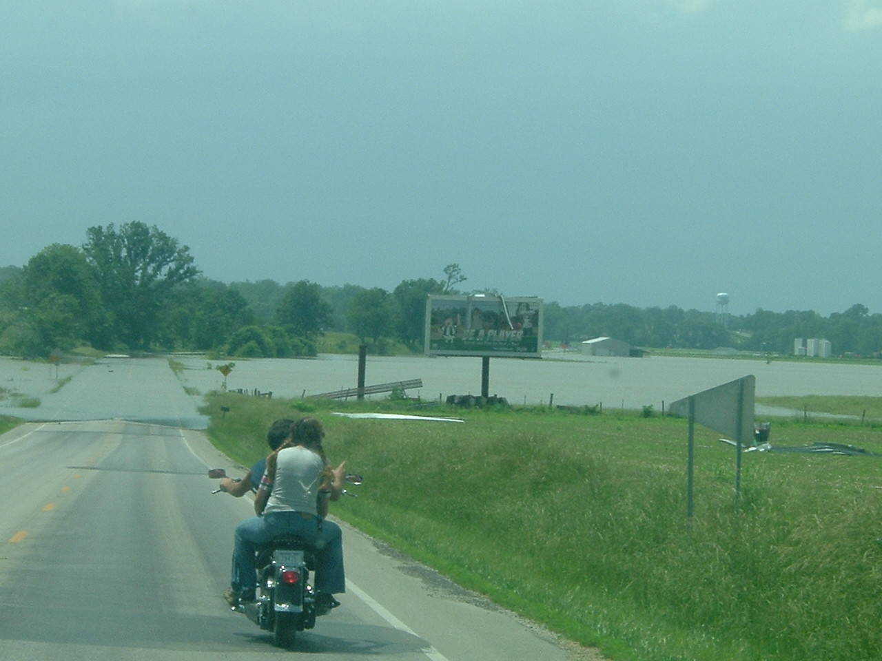
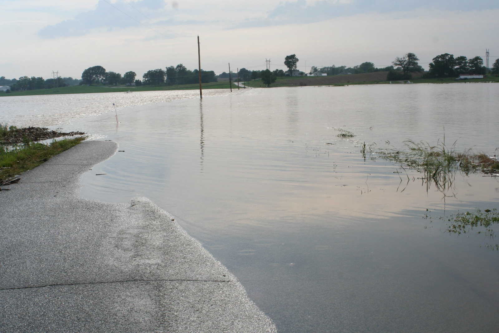
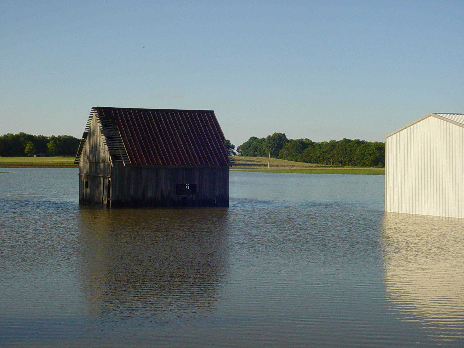
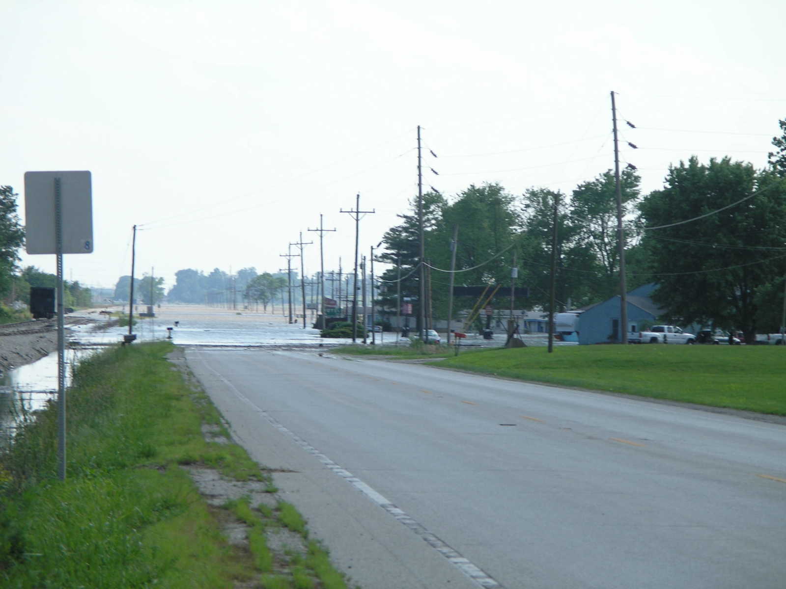
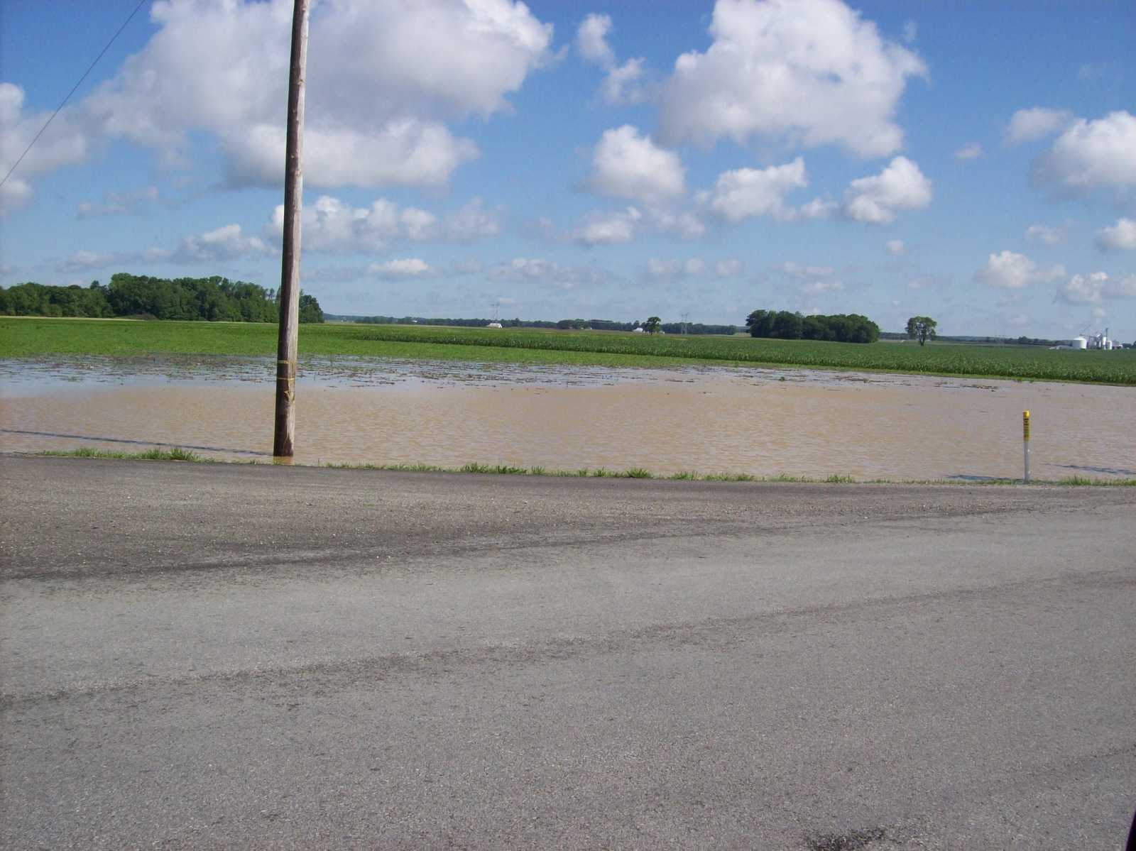
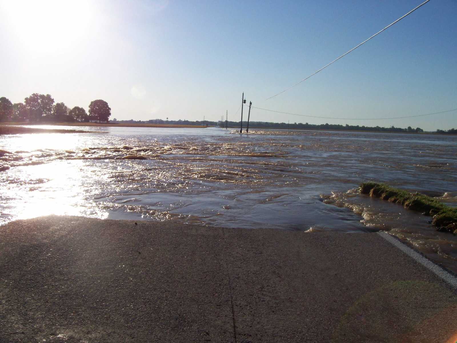
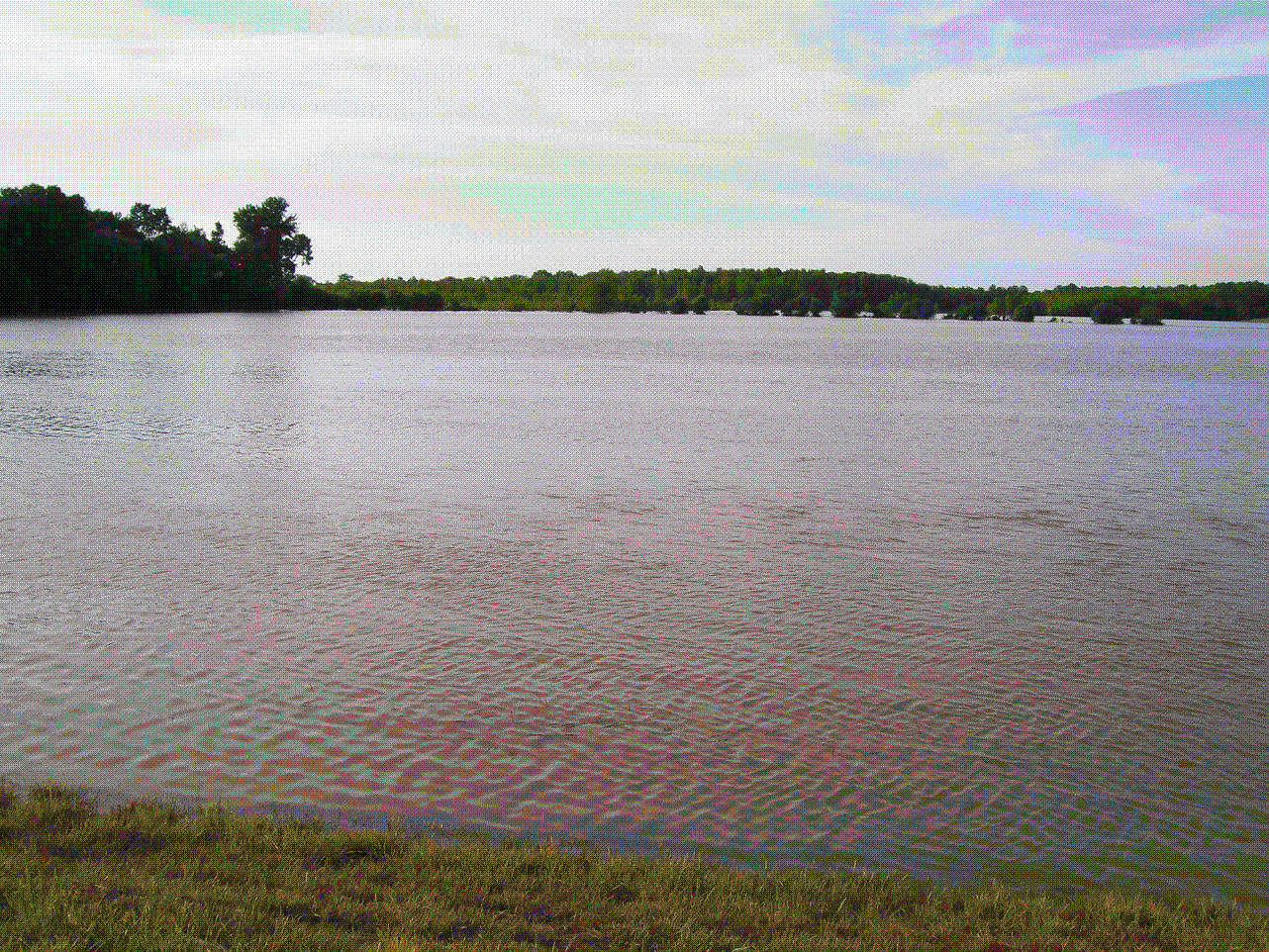
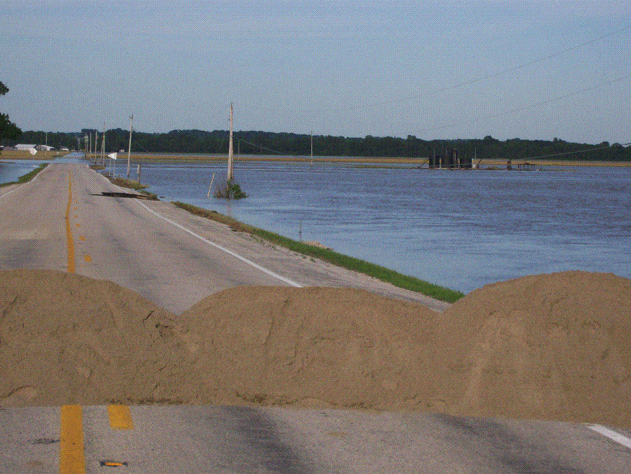
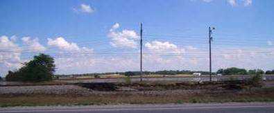
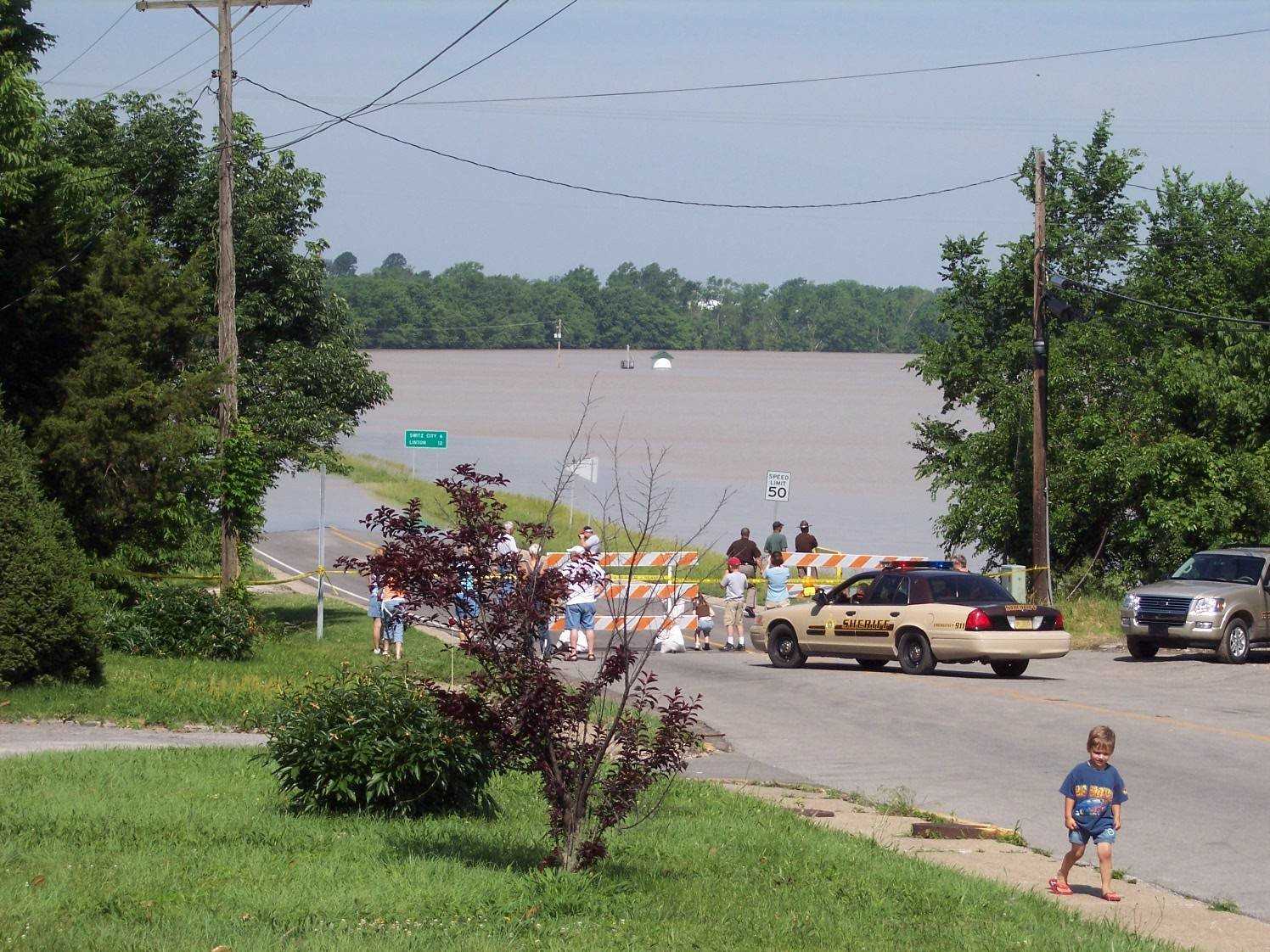 View from State Road 54 looking west from Bloomfield on June 9 at approximately 11:30 a.m. The White River was at 32.9 feet at that time. (Submitted by Bill Oricks)
 -
 View from State Road 54 looking west from Bloomfield on June 9 at approximately 11:30 a.m. The White River was at 32.9 feet at that time. (Submitted by Bill Oricks)
 -
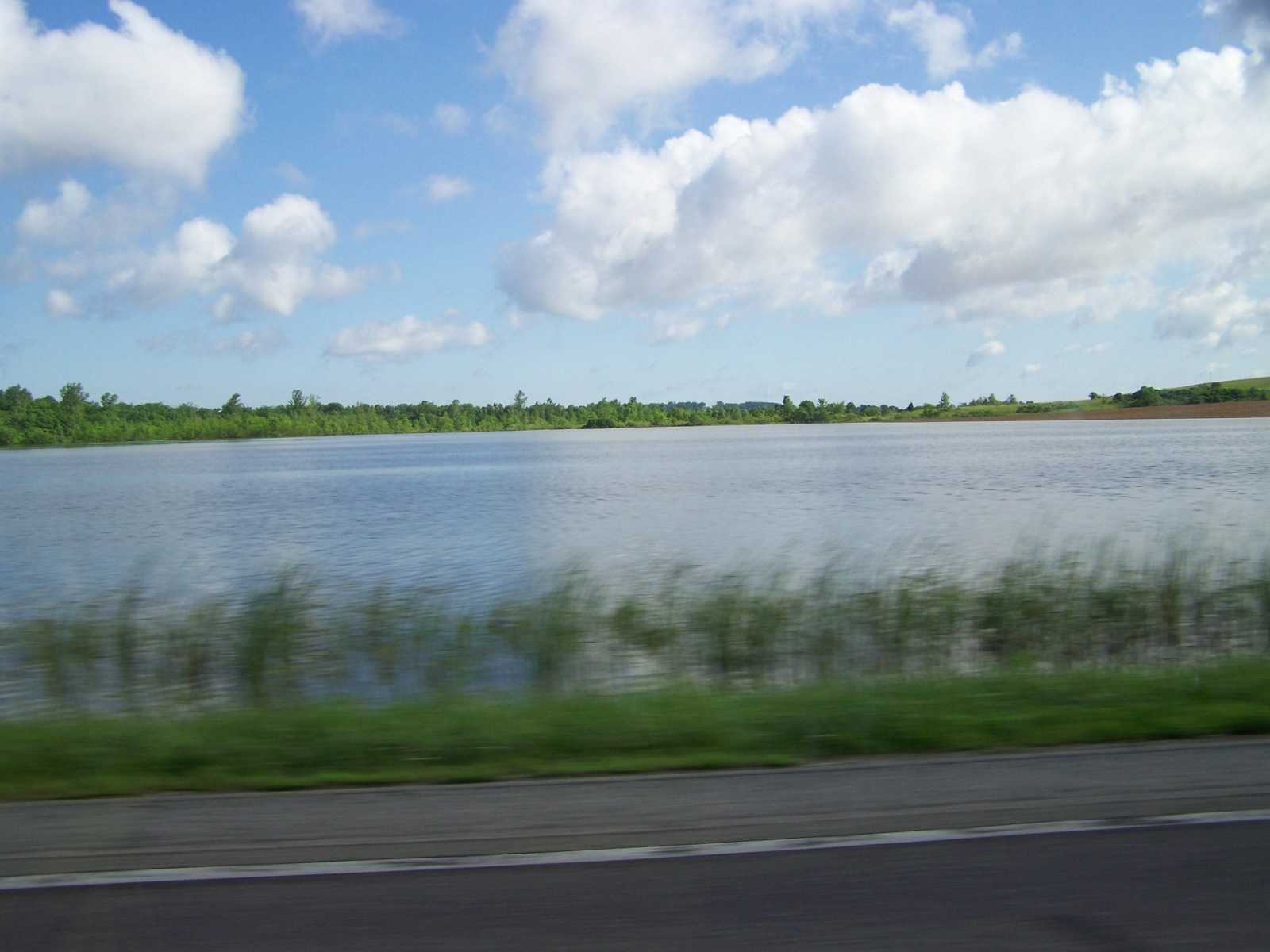
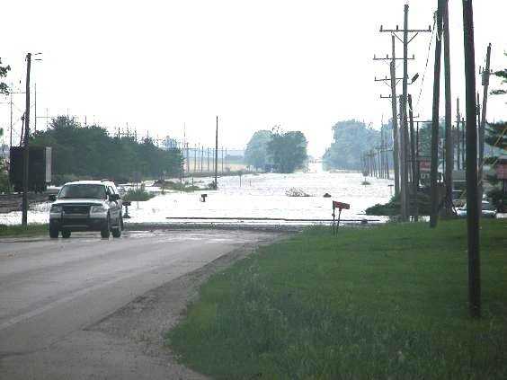 State Road 67 looking South from Worthington. (Submitted by Maribeth and Amanda Tegnell. Photos taken Sunday, June 8 and Monday, June 9, 2008)
 -
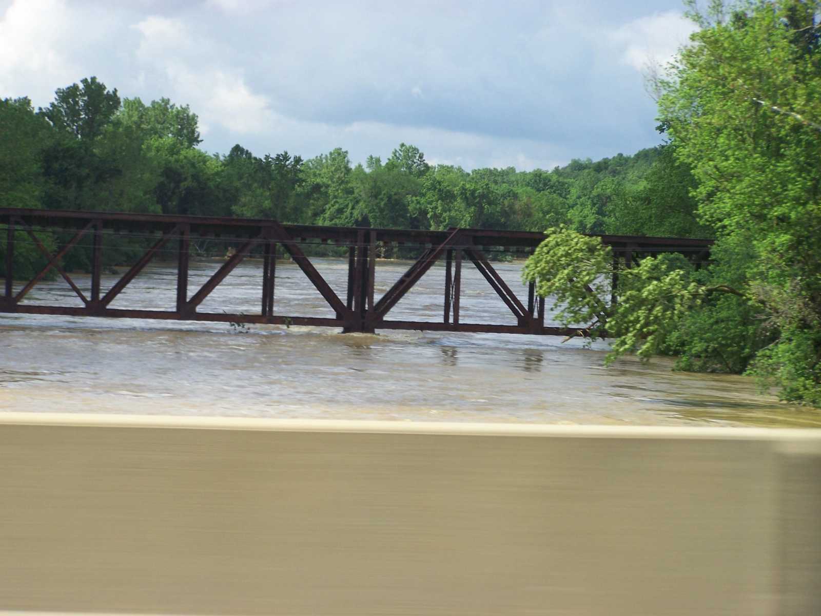
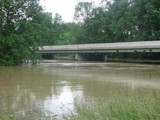 Eel River Bridge near Worthington. (Submitted by Maribeth and Amanda Tegnell. Photos taken Sunday, June 8 and Monday, June 9, 2008)
 -
 State Road 157 north of Worthington. (Submitted by Maribeth and Amanda Tegnell. Photos taken Sunday, June 8 and Monday, June 9, 2008)
 -
 South Jefferson and Third Street in Worthington. (Submitted by Maribeth and Amanda Tegnell. Photos taken Sunday, June 8 and Monday, June 9, 2008)
 -
 Sandbagging in Worthington. (Submitted by Maribeth and Amanda Tegnell. Photos taken Sunday, June 8 and Monday, June 9, 2008)
 -
 South Jefferson and SR. 157 North in Worthington on Saturday. (Submitted by Maribeth and Amanda Tegnell. Photos taken Sunday, June 8 and Monday, June 9, 2008)
 -
 Taken from State Road 157 South. (Submitted by Maribeth and Amanda Tegnell. Photos taken Sunday, June 8 and Monday, June 9, 2008)
 -
 This picture is from the left side of the road going towards Bloomfield. (Submitted by Natalie Cody)
 -
 Near State Road 54/State Road 57 intersection near Ball and Spencer Photography. (Submitted by Natalie Cody)
 -
 Right before SR 54/SR 57 intersection. (Submitted by Natalie Cody)
 -
 Near Shawnee air field. (Submitted by Natalie Cody)
 -
 Bloomfield bridge on side of the Gravel plant. (Submitted by Natalie Cody)
 -
 Bloomfield bridge going towards Bloomfield. (Submitted by Natalie Cody)
 -
 Gravel plant road. (Submitted by Natalie Cody)
 -
 Looking off of State Road 54. (Submitted by Natalie Cody)
 -
 (Submitted by Natalie Cody)
 -
 Field on west side of Bloomfield. (Submitted by Natalie Cody)
 -
 Another field on the west side of Bloomfield. (Submitted by Natalie Cody)
 -
 (Submitted by Natalie Cody)
 -
 (Submitted by Natalie Cody)
 -
 (Submitted by Natalie Cody)
 -
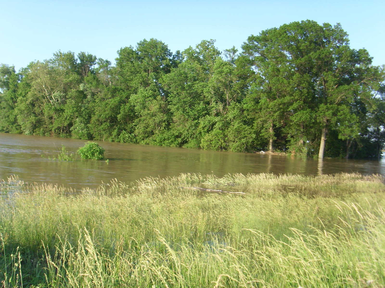
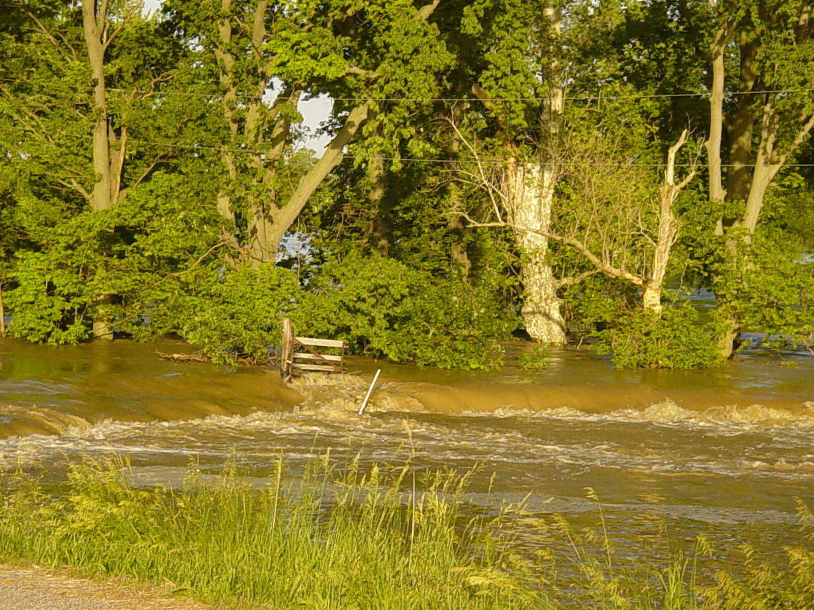
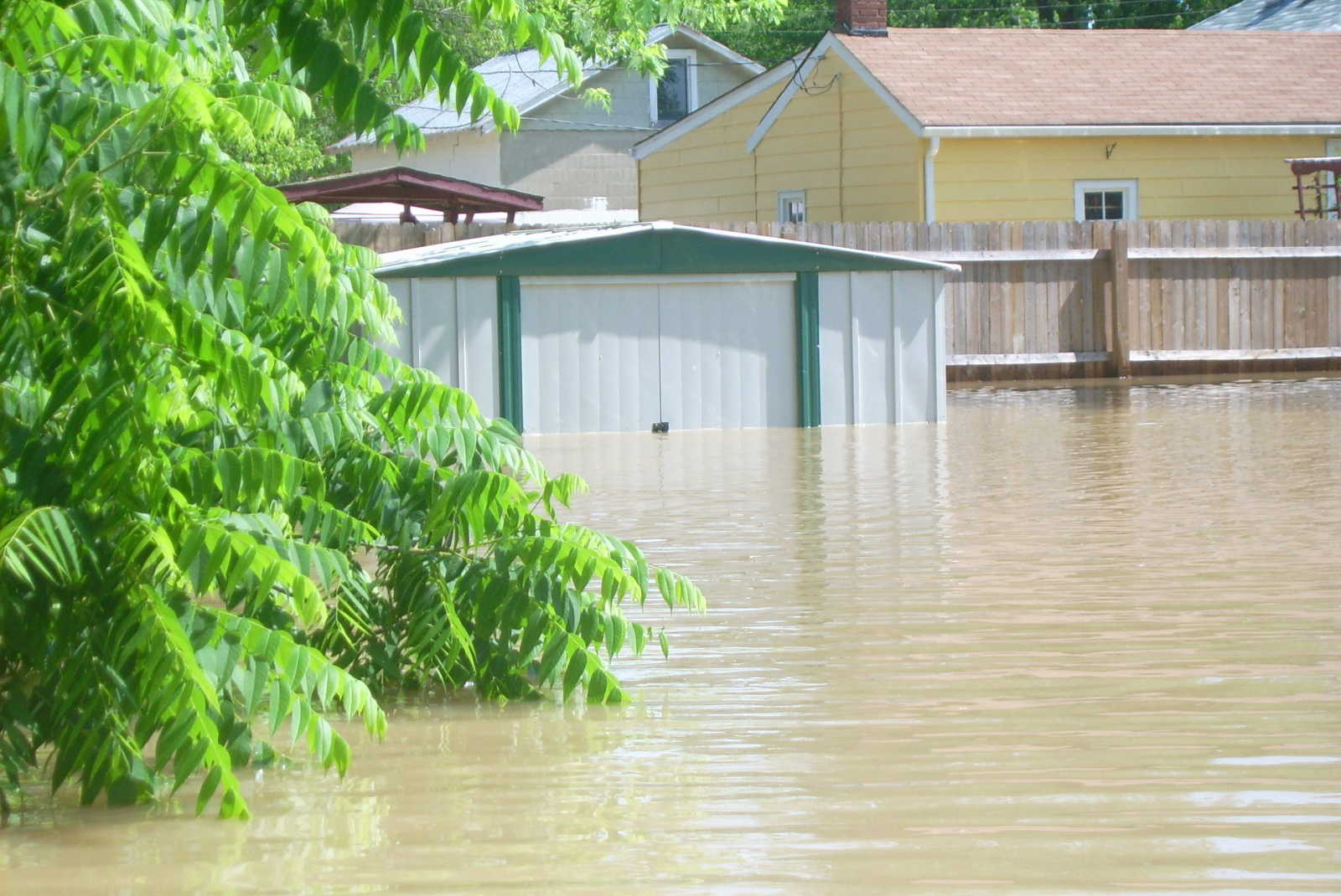
 Flooding of Smothers Creek in Plainville. This is about 1/2 mile off of SR. 358 in Daviess County if you are headed west. Taken standing on the levee. (Submitted by Jenny Page)
 -
 Flooding of Smothers Creek in Plainville. This is about 1/2 mile off of SR. 358 in Daviess County if you are headed west. Taken standing on the levee. (Submitted by Jenny Page)
 -
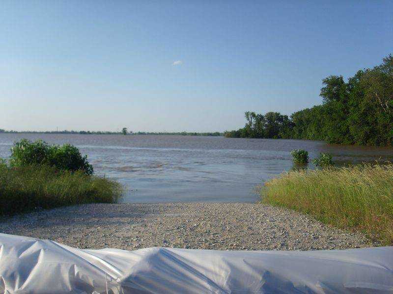
 (Submitted by John P. Coleman of Lyons)
 -
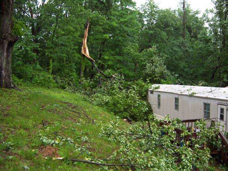 Taken 2:00 pm on June 3, 2008, Blue Barn Hill, This is trees down in our yard and against our home. (Submitted by Sandy Norris)
 -
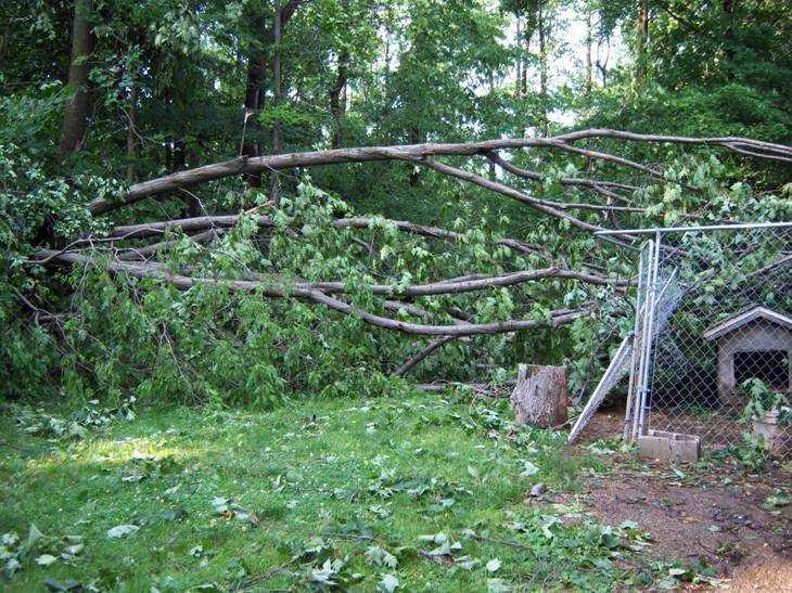 Taken 2:00 pm on June 3, 2008, Blue Barn Hill, This is a tree that fell on our dog pen in backyard (Submitted by Sandy Norris)
 -
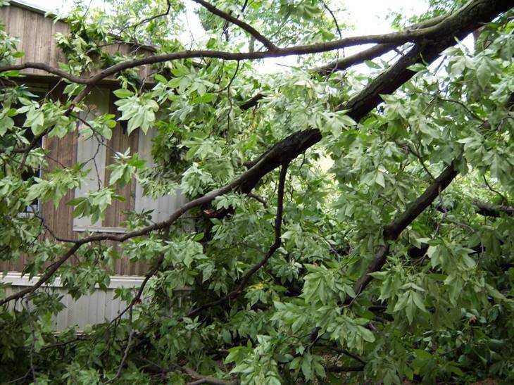 Taken 2:00 pm on June 3, 2008, Blue Barn Hill, A tree that is up against the end of our trailer (Submitted by Sandy Norris)
 -
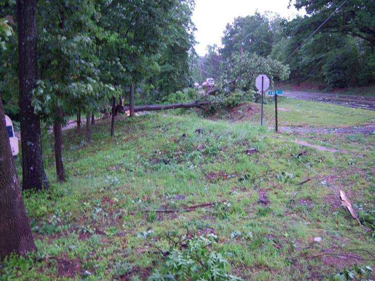 Taken 2:00 pm on June 3, 2008, Blue Barn Hill, Tree across the county road. No one can get down this road to their houses. (Submitted by Sandy Norris)
 -
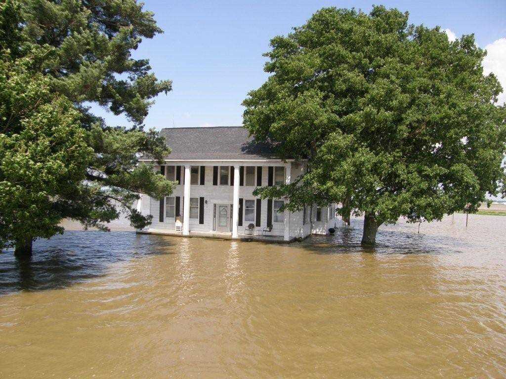
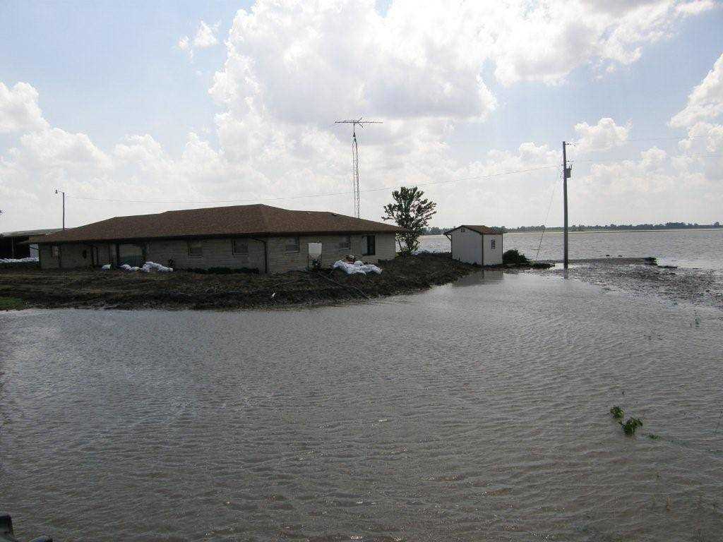 This is Chris Gehring's house south of the pump house that is east of Lyons. We built a levee to keep the water out and it worked, otherwise his house would have been gone. (Submitted by John P. Coleman of Lyons)
 -
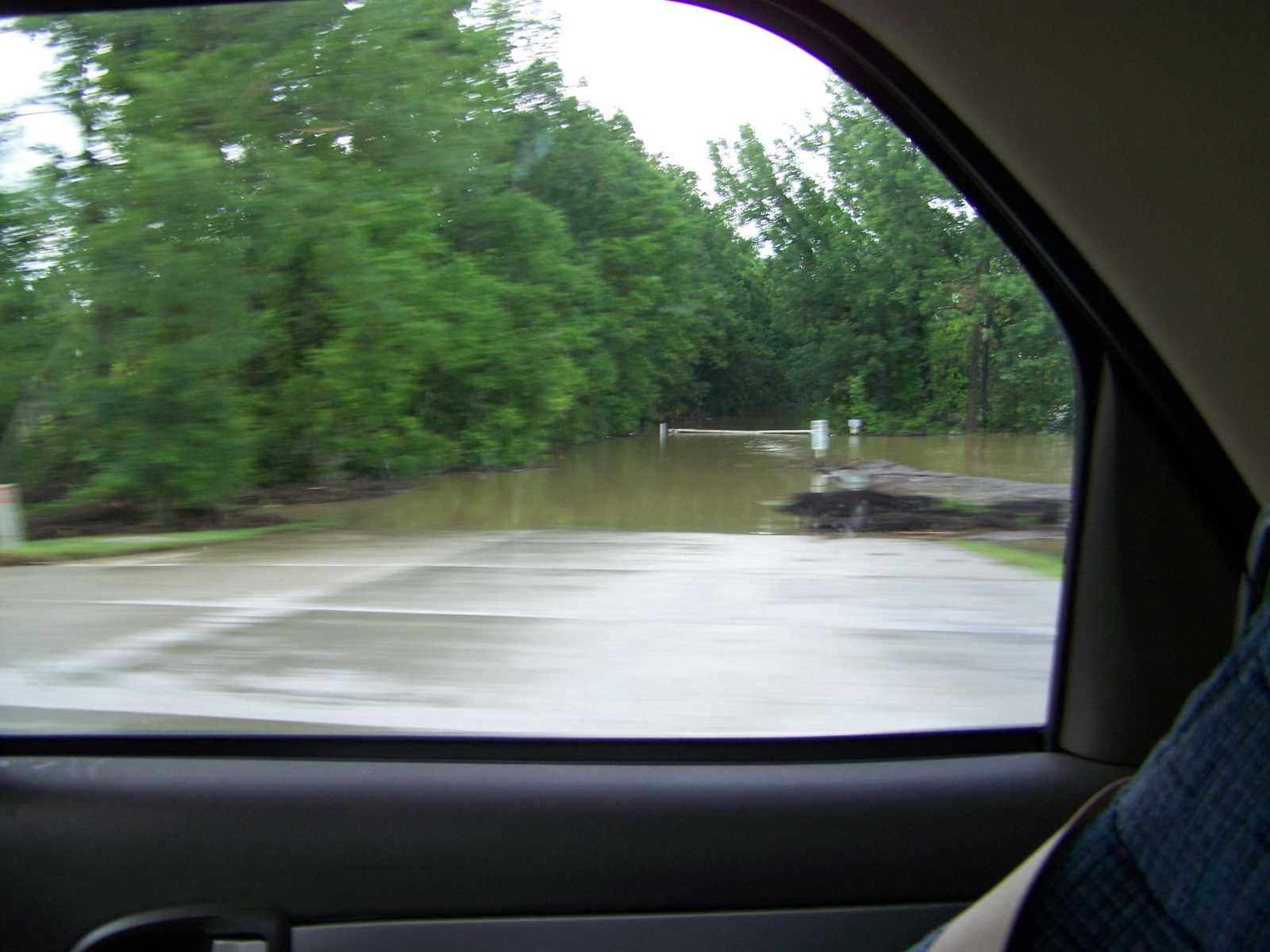
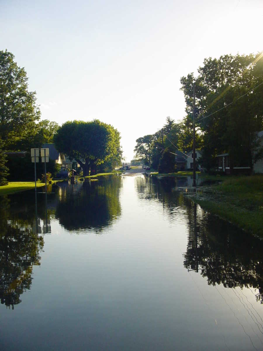
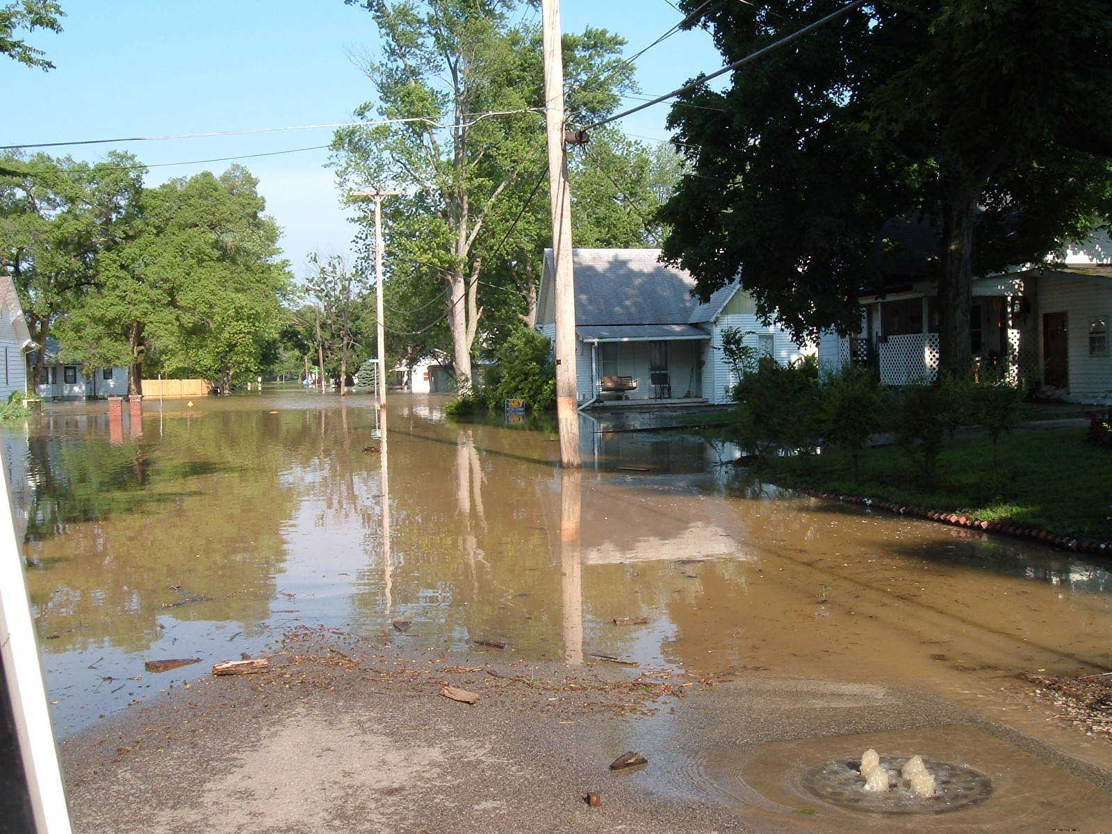 Looking west on Third Street in Worthington. (Submitted by Steve & Chantel Carpenter of Worthington)
 -
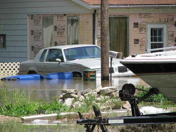
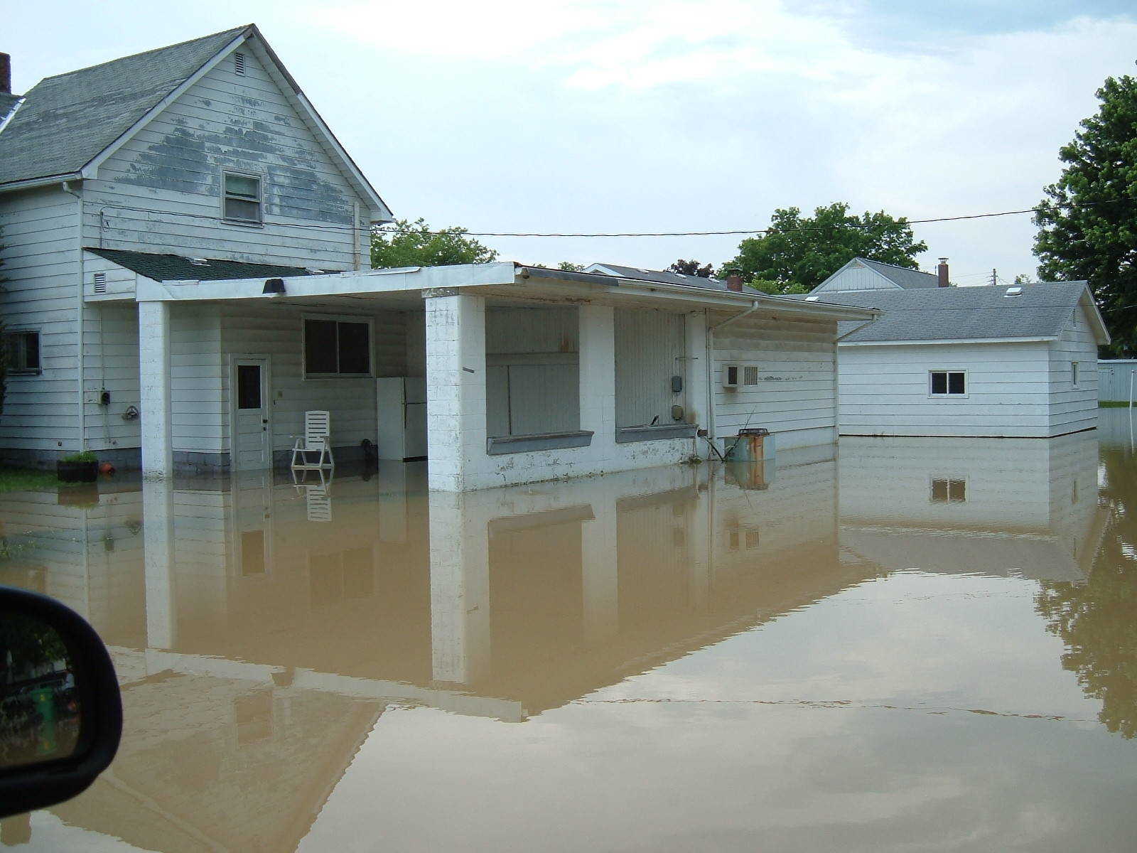 House on north end of Worthington. (Submitted by Steve & Chantel Carpenter of Worthington)
 -
 Worthington Town Park (Submitted by Steve & Chantel Carpenter of Worthington)
 -
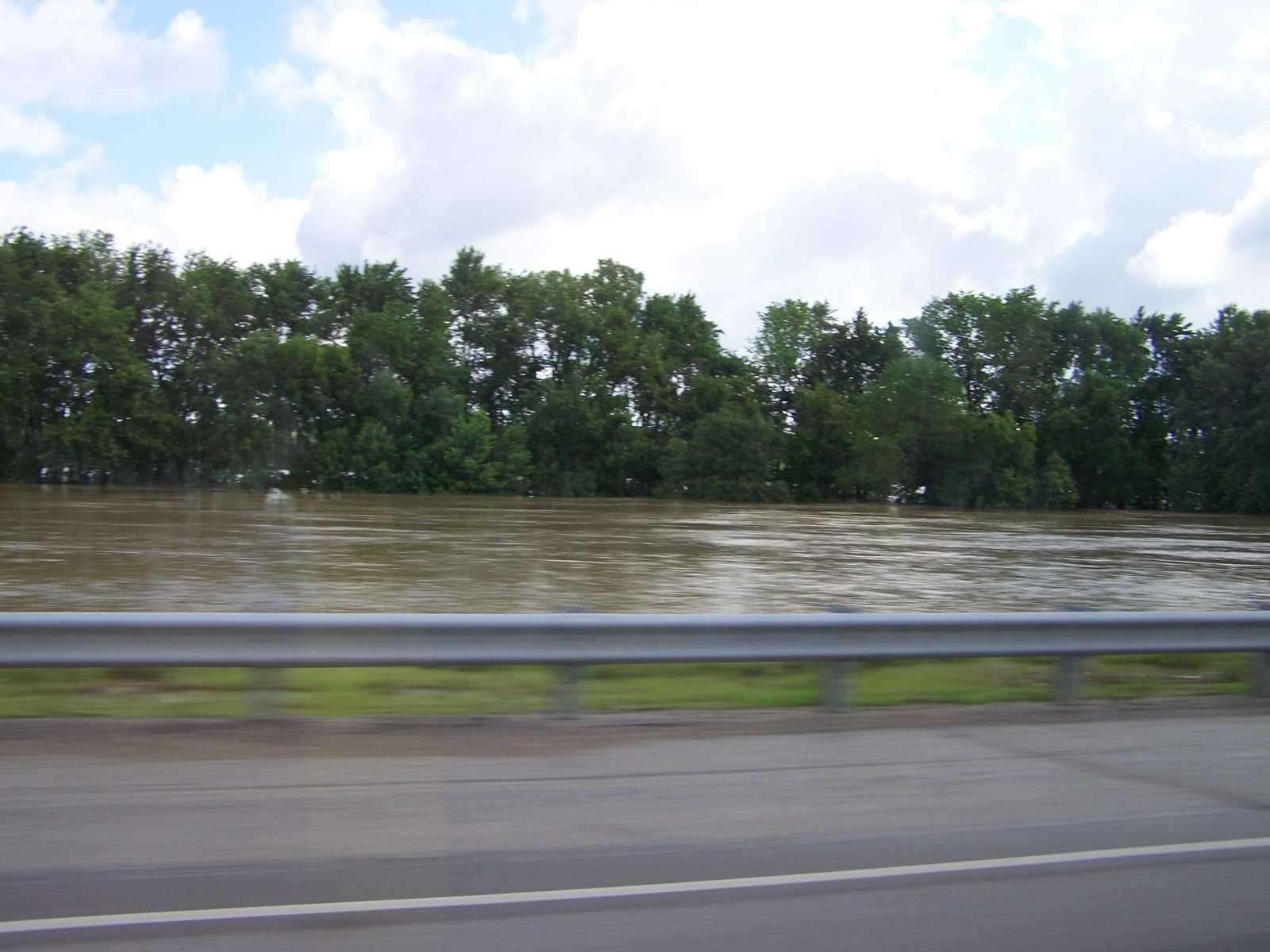
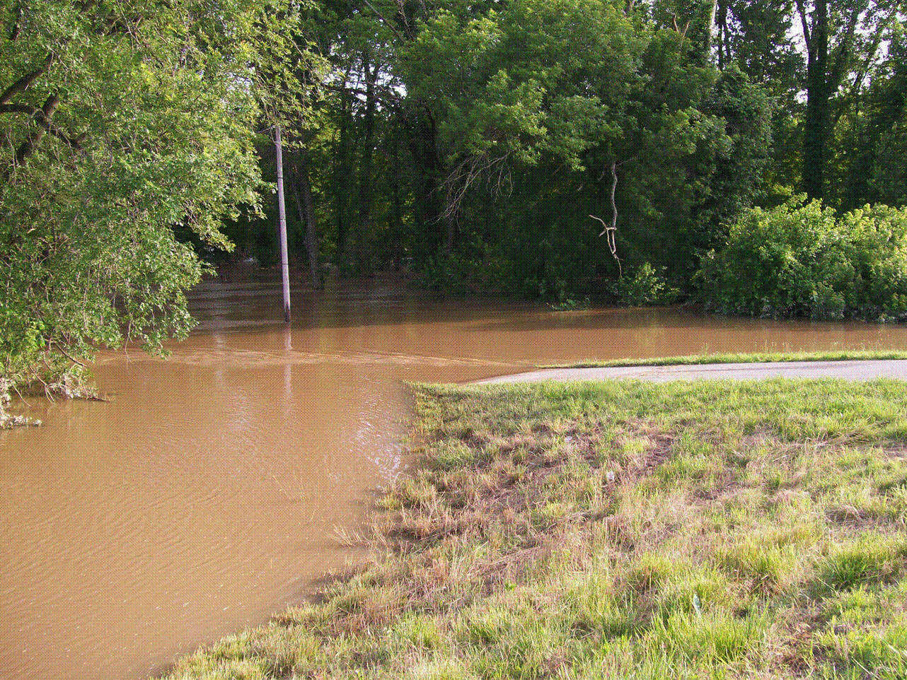
 This is Terre Haute Road, west of Worthington, looking east toward town. The photo was taken Sunday morning, June 8, 2008, about 11 am. (Submitted by Don Terrell of Worthington)
 -
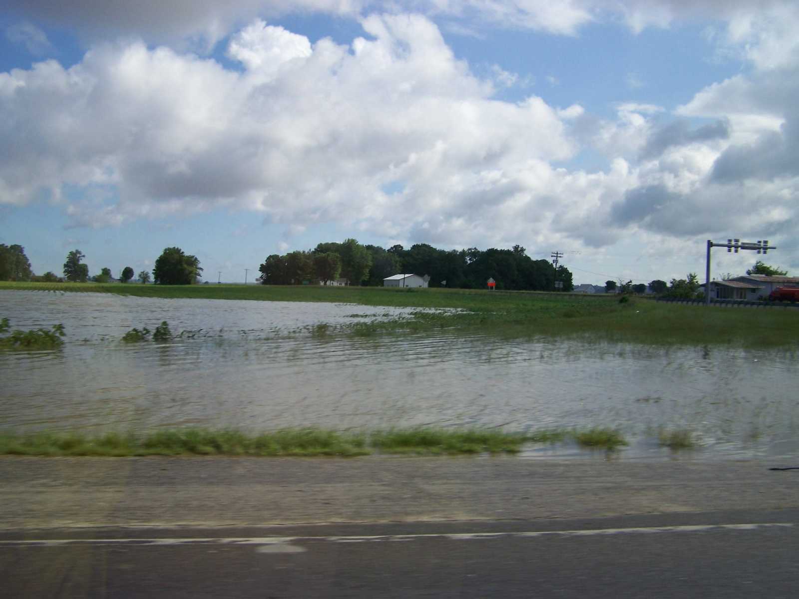
 This is on a county road down from our home...this was pastureland that looks more like a river now. (Submitted by Karen Sargent)
 -
 Just south of Bradfield's on 231 South and yes that is a boat out in the water. (Submitted by Karen Sargent)
 -
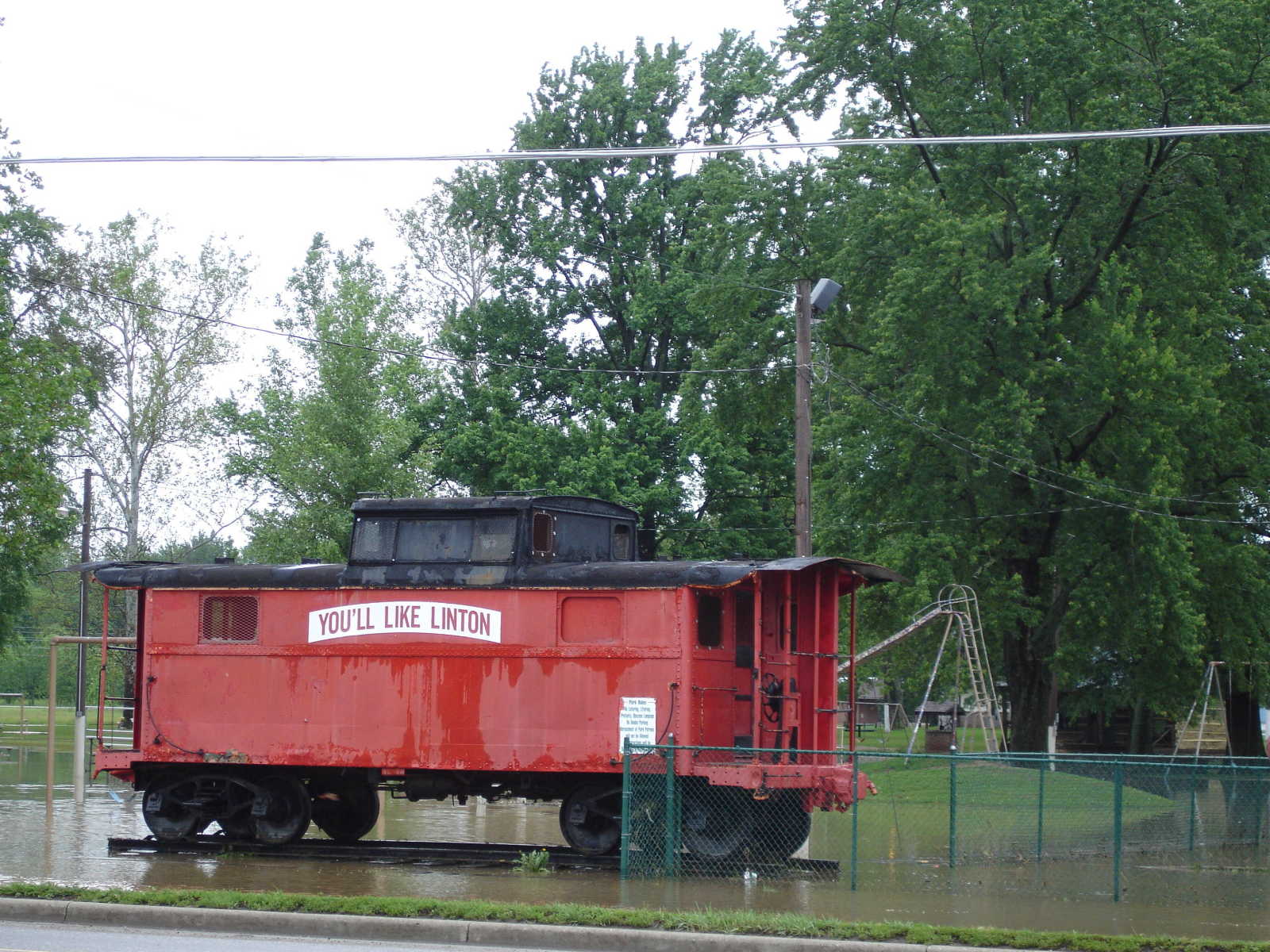 The caboose at Humphrey's Park in Linton on Saturday. (Submitted by Linda Long)
 -
 This picture was taken Monday, June 9, around 10 a.m. at the west edge of Bloomfield. (Submitted by Linda Long)
 -
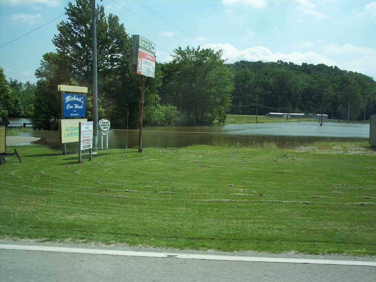 U.S. 231 and Furnace Road on the southside of Bloomfield. The Shawnee Theatre sign is near the center of the photo. (Submitted by Bill Oricks)
 -
 The picture of Eastern Heights Utilities water pump was taken Tuesday, June 10, at 10 a.m. just after State Road 54 West was opened. (Submitted by Linda Long)
 -
 This picture was taken at 10 a.m Tuesday, June 10, just west of Ball-Spencer Photography. The picture is looking toward Shawnee Airport. (Submitted by Linda Long)
 -
 State road 57 just north of Prairie Chapel where the Simpson Ditch washed away. (Submitted by Jerry Nash)
 -
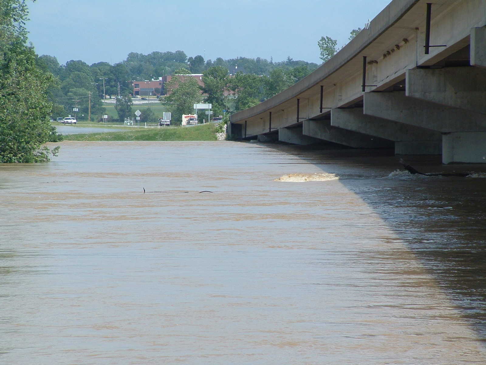
 The Veteran's Memorial Bridge, west of Bloomfield. (Submitted by Jerry Nash)
 -
 Veteran's Memorial Bridge looking east toward Bloomfield. (Submitted by Jerry Nash)
 -
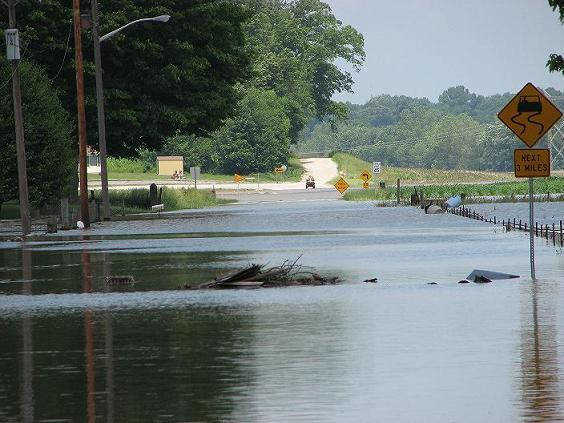
 State Road 54 looking west towards Lighthouse junction from Bloomfield. (Submitted by Jerry Nash)
 -
 State Road 54 near the Lighthouse Junction. (Submitted by Jerry Nash)
 -
 On the 'grade' west of Bloomfield looking west. Taken at 3:52 pm Sunday, June 8, 2008. (Submitted by Rene Wigginton)
 -
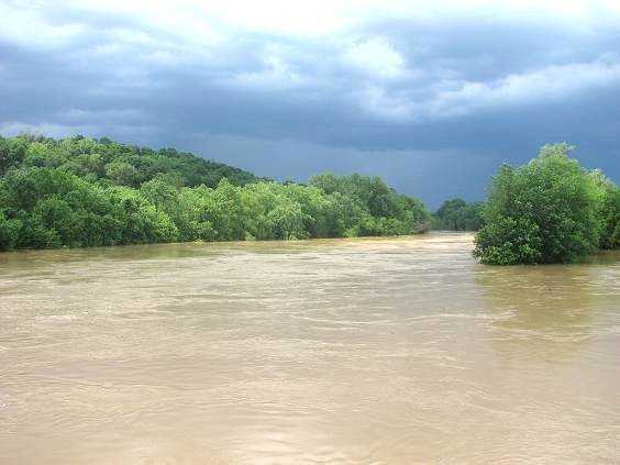
 Driving across the Veteran's Memorial Bridge, looking north with Laddis Creek flowing into the river on the left. Taken at 3:54 pm Sunday, June 8, 2008. (Submitted by Rene Wiggington)
 -
 Standing on River Road looking back east toward Bloomfield. Taken at 3:55 pm Sunday, June 8, 2008 (Submitted by Rene Wiggington)
 -
 South end of Bloomfield South Shopping Plaza. Taken 4:03 pm Sunday, June 8, 2008. (Submitted by Rene Wiggington)
 -
 State Road 54 looking west on the 'grade'. (Submitted by Rene Wiggington)
 -
 Bloomfield State Bank "Island" south of Bloomfield at 9:27 am Monday, June 9, 2008 (Submitted by Rene Wiggington)
 -
 Facing north, looking at Third Street in Worthington. Taken Monday, June 9th. (Submitted by Vicky Robertson)
 -
 Terre Haute Road in Worthington, looking towards the west. Taken Monday, June 9th. (Submitted by Vicky Robertson)
 -
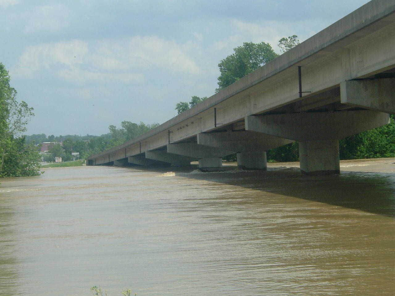
 West side of river bridge in Knox County. (Submitted by Becky Williams)
 -
 Near Edwardsport (Submitted by Becky Williams)
 -
 East side of river bridge in Knox County. (Submitted by Becky Williams)
 -
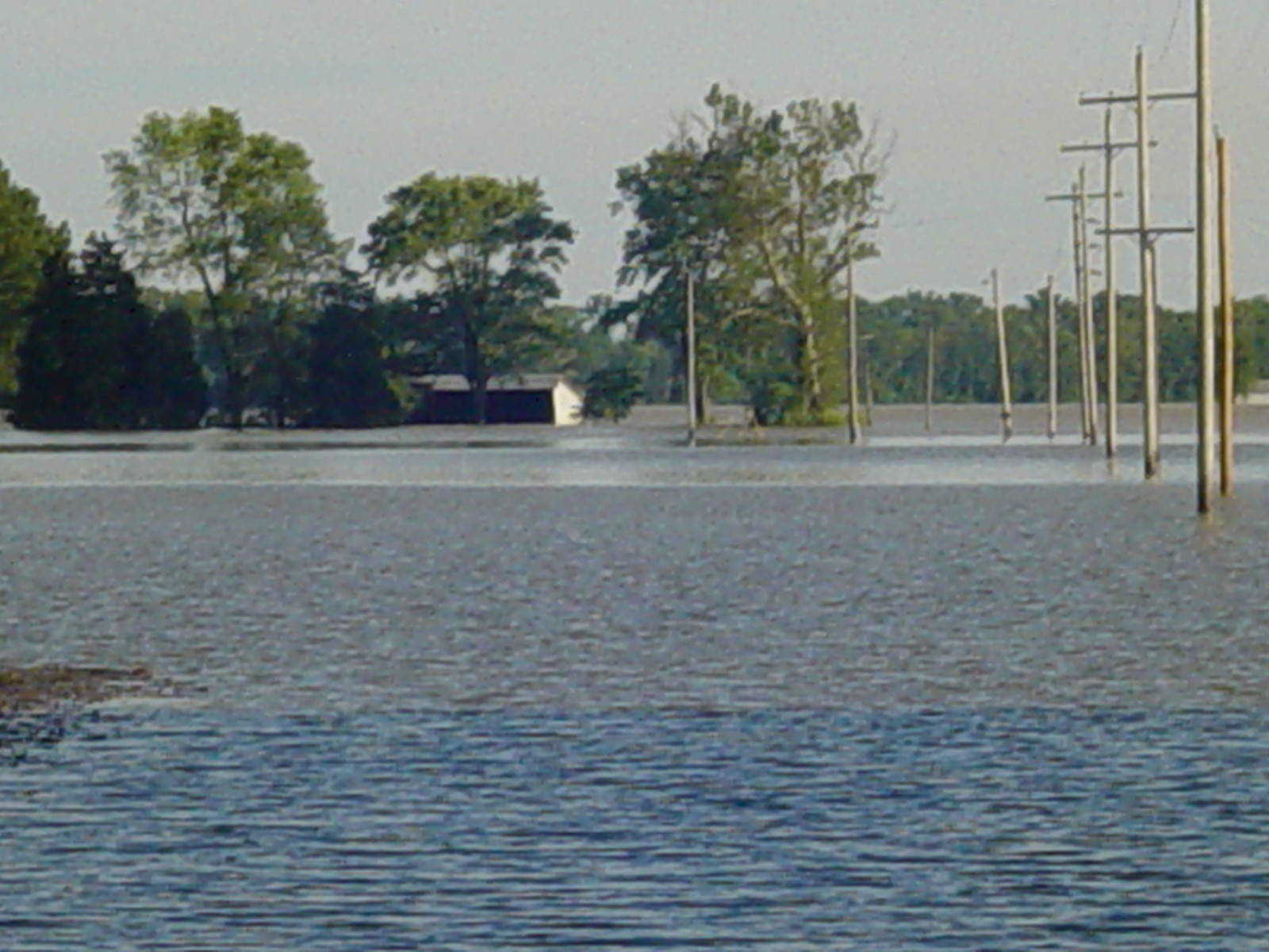
 Looking down State Road 58 from State Road 67 in Westphalia. (Submitted by Becky Williams)
 -
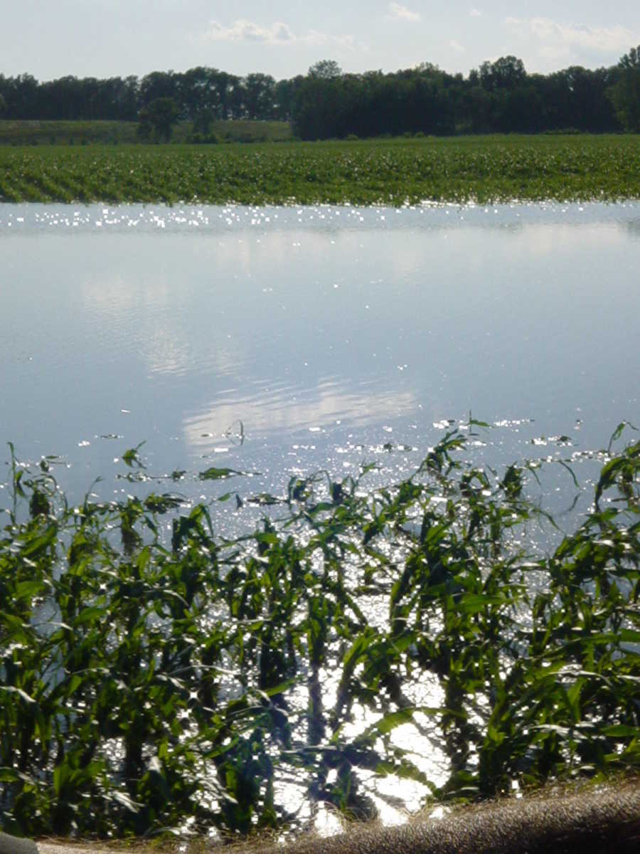
 2008 flood near Westphalia (Submitted by Becky Williams)
 -
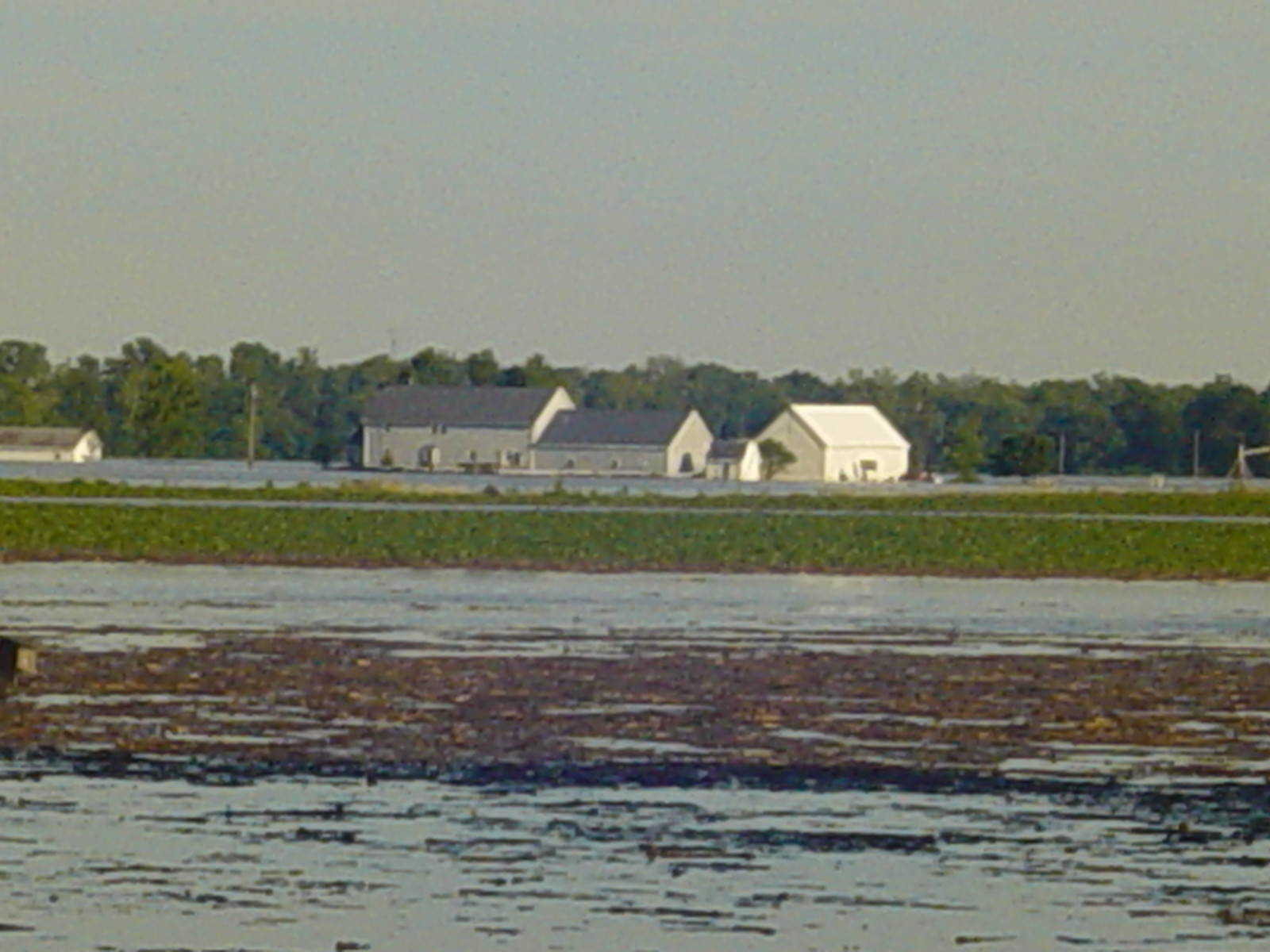
 Pahmeier Farm (Submitted by Becky Williams)
 -
 Knox County farmland. (Submitted by Becky Williams)
 -
 2008 Flood in Knox County. (Submitted by Becky Williams)
 -
 2005 Flood in Knox County. (Submitted by Becky Williams)
 -
 Near Door Knob, east of Westphalia. (Submitted by Becky Williams)
 -
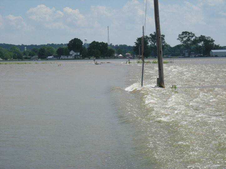
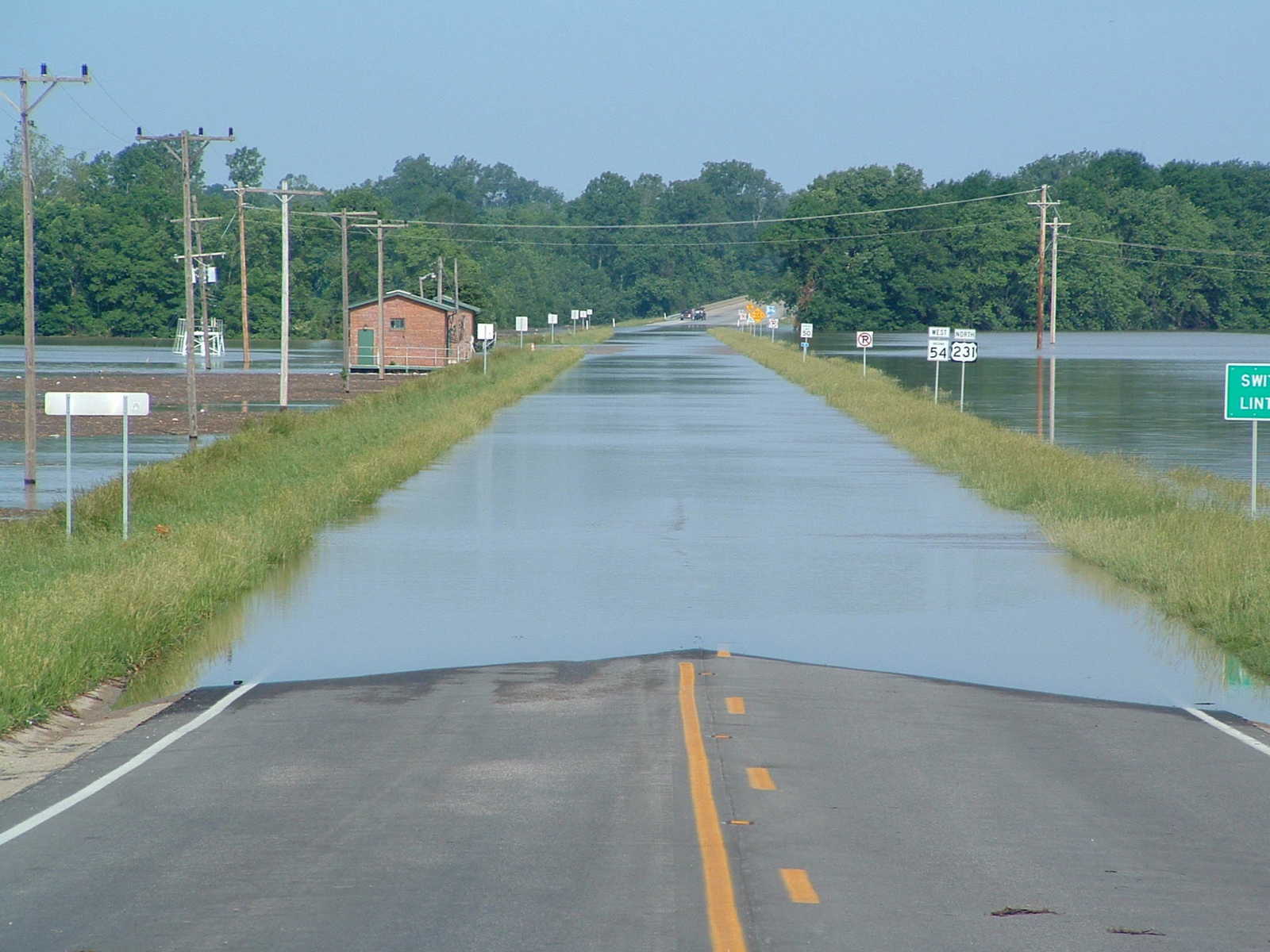
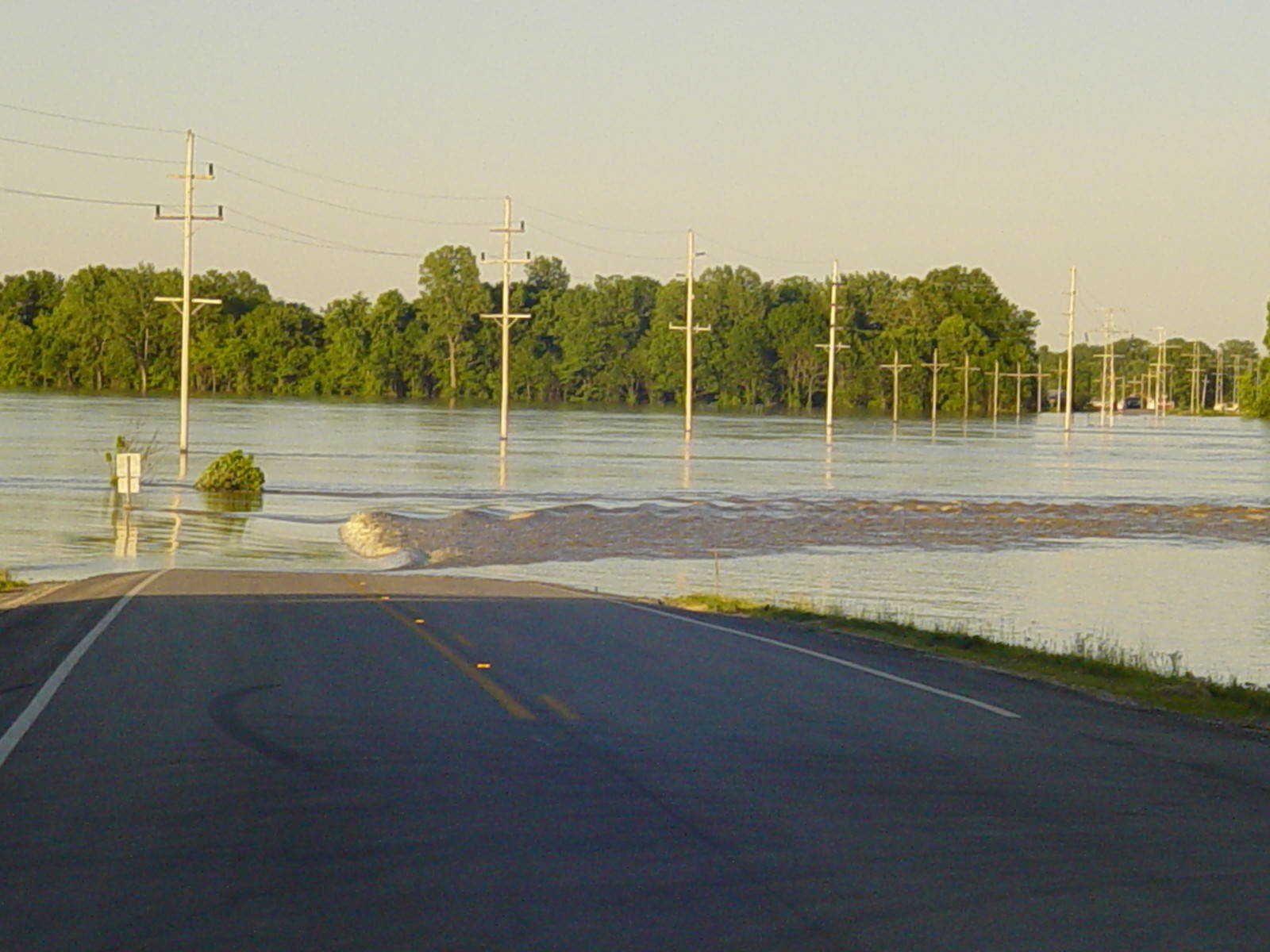
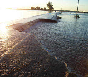
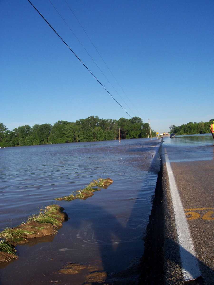
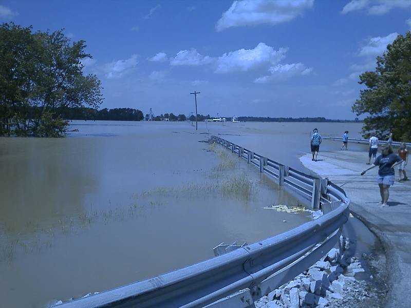
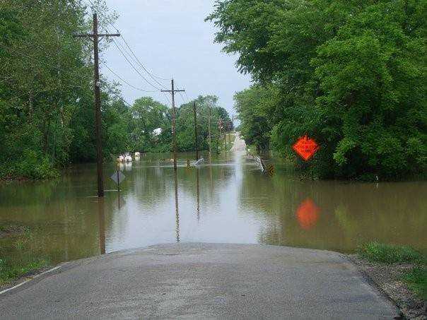
 Taken at SR157 White River bridge, showing how deep the water was across that grade on Sunday evening. (Submitted by Ruth Hastings)
 -
 State Road 67 south of Worthington. (Submitted by Ruth Hastings)
 -
 Flooding over SR67, south of Worthington. (Submitted by Ruth Hastings)
 -
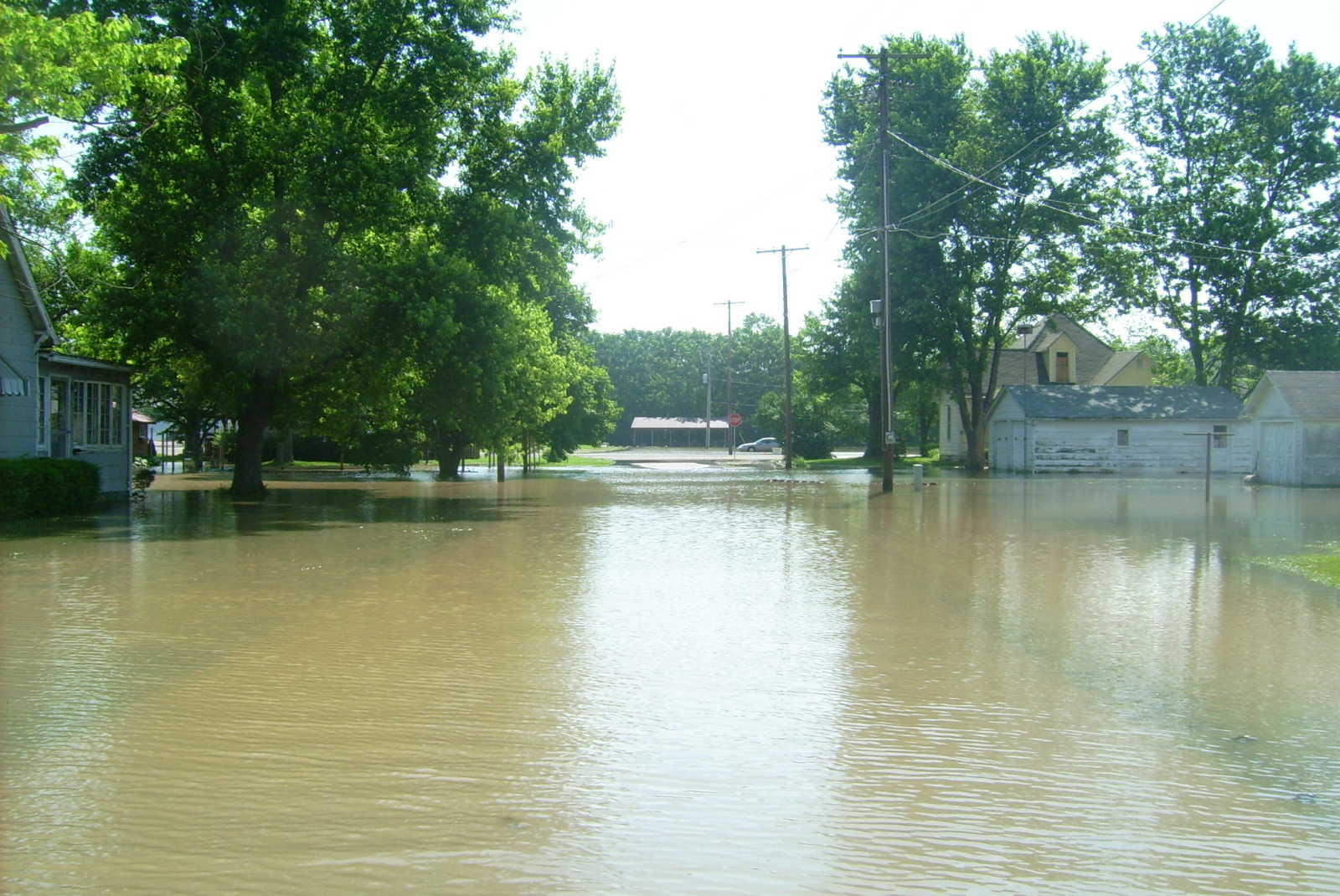
 Yard on Second Street in Worthington, taken Sunday afternoon. (Submitted by Christy Thompson)
 -
 Second Street in Worthington. Taken Sunday afternoon. (Submitted by Christy Thompson)
 -
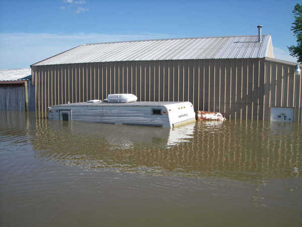
 Farmland east of Lyons by wastewater treatment plant (Submitted by Caleb Pope of Linton)
 -
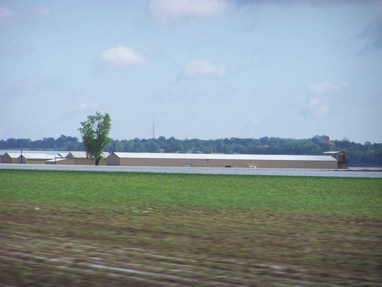
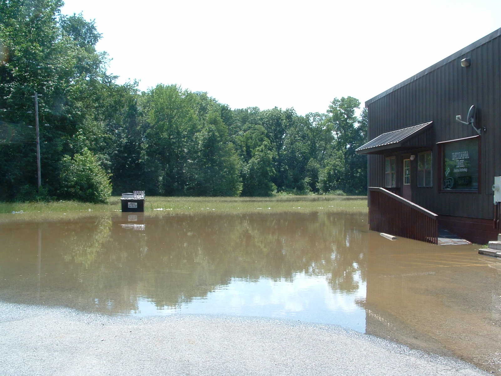
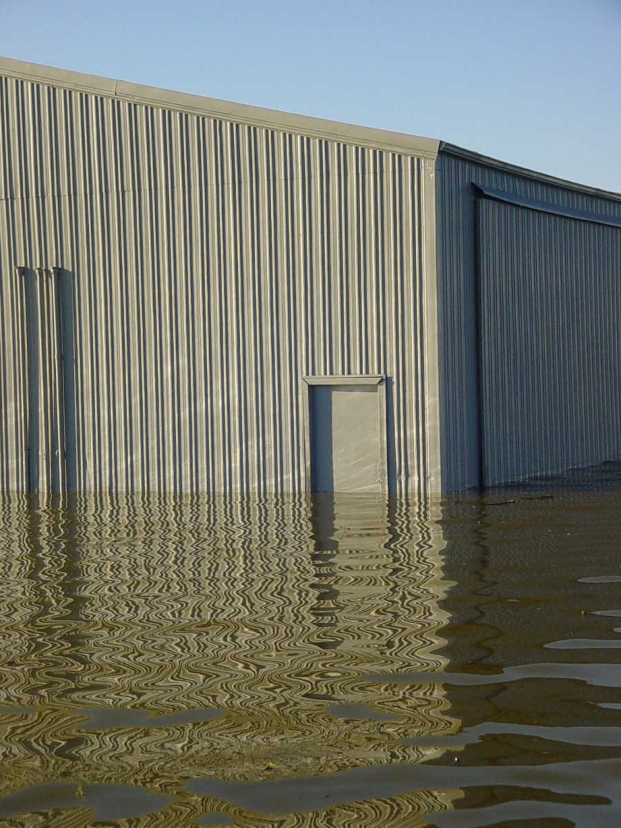
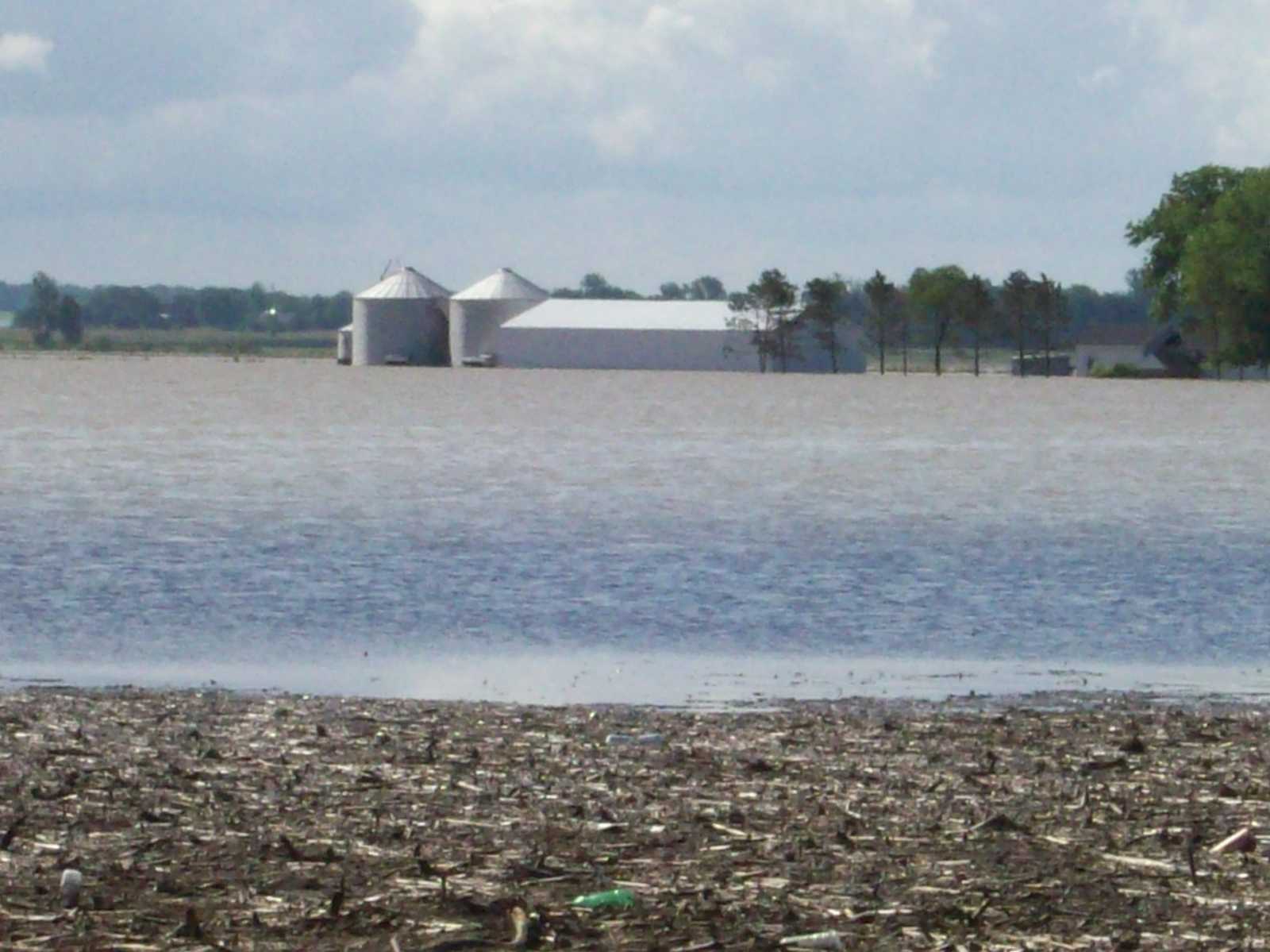
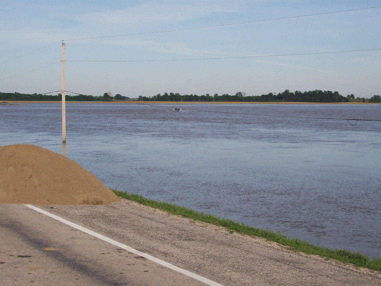
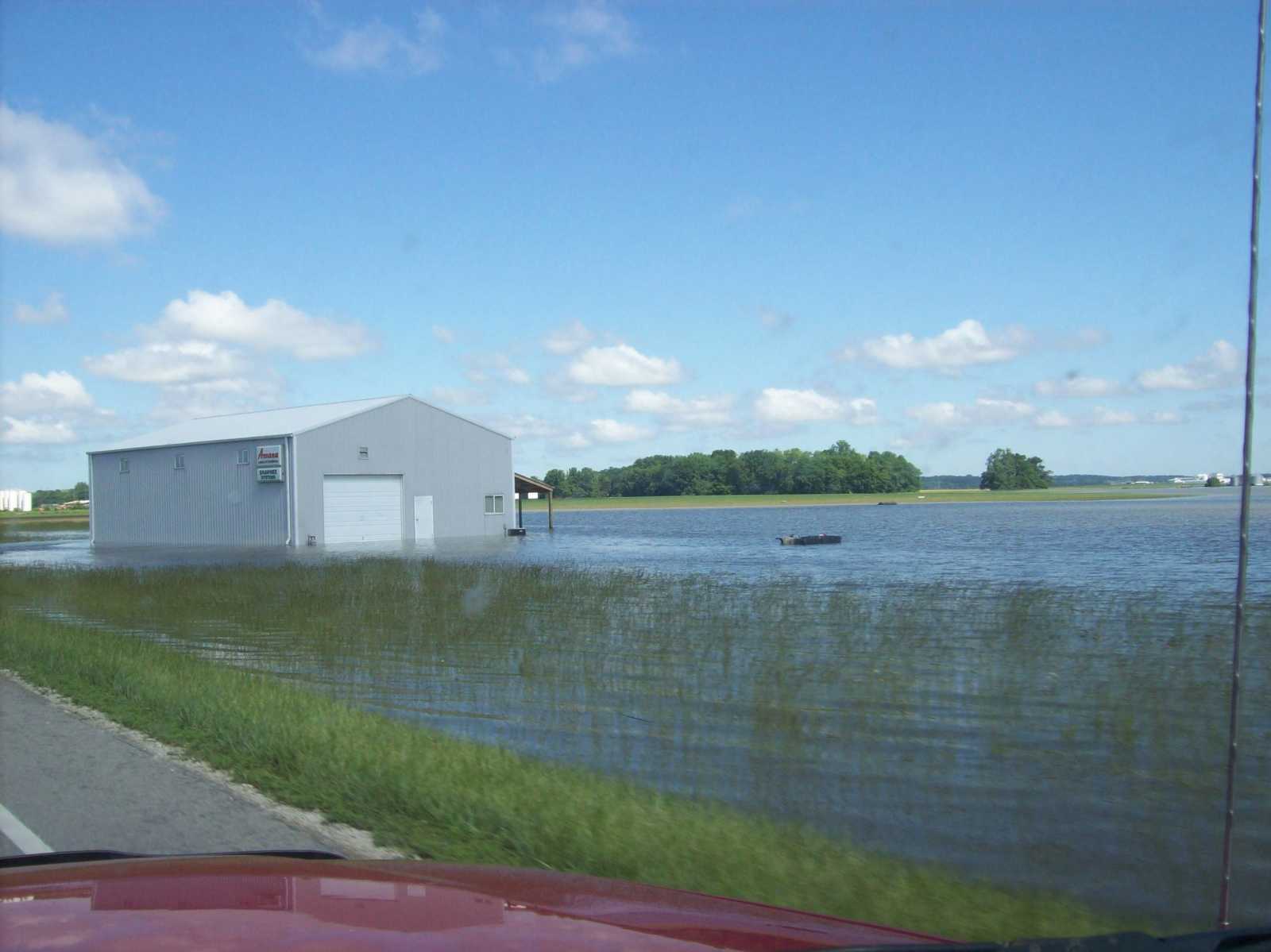 Shawnee Systems, located near the Lighthouse junction. Taken on Tuesday morning. (Submitted by Caleb Pope of Linton)
 -
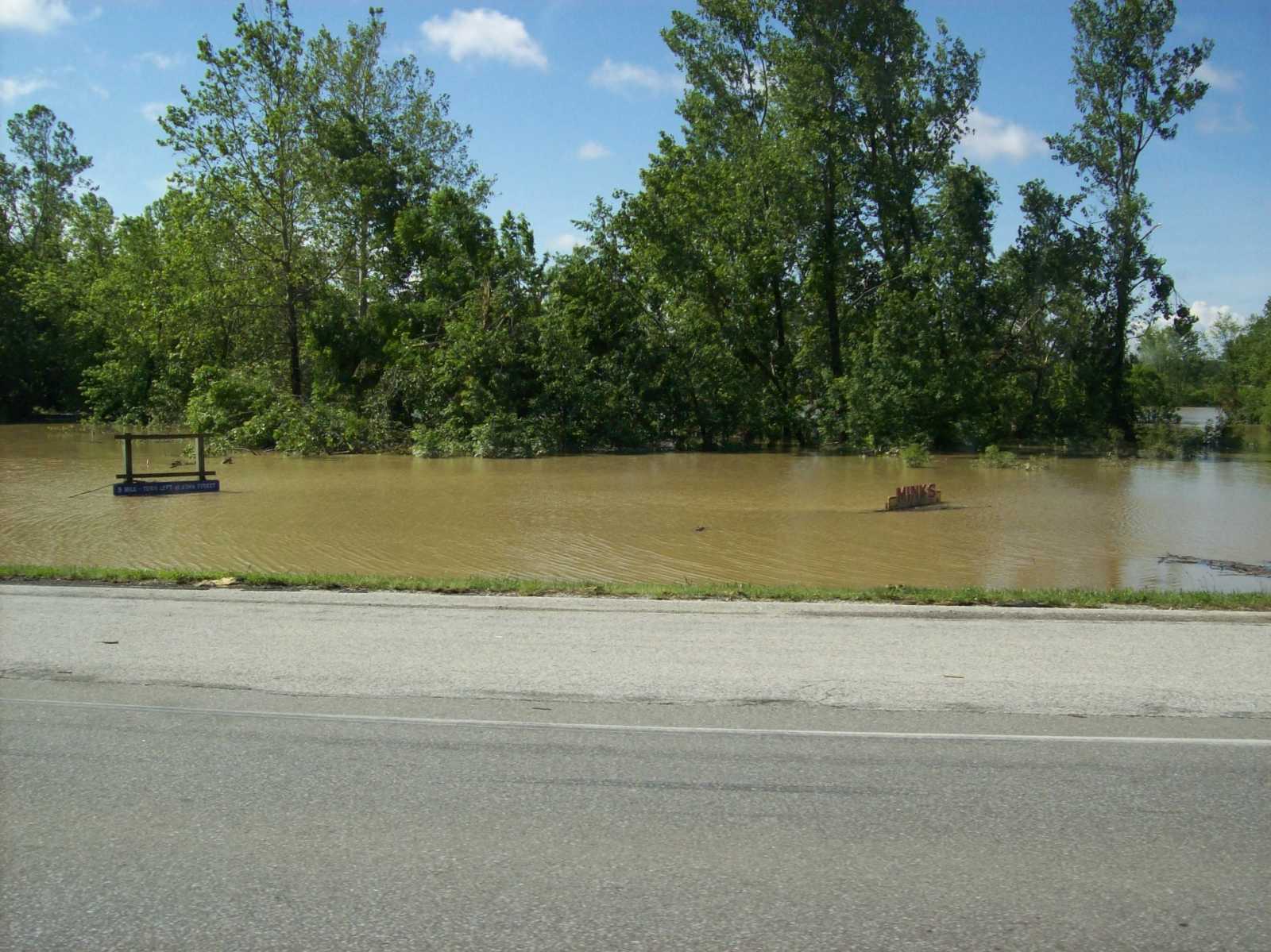 Mink's Body Shop sign completely under water west of Bloomfield (Submitted by Caleb Pope of Linton)
 -
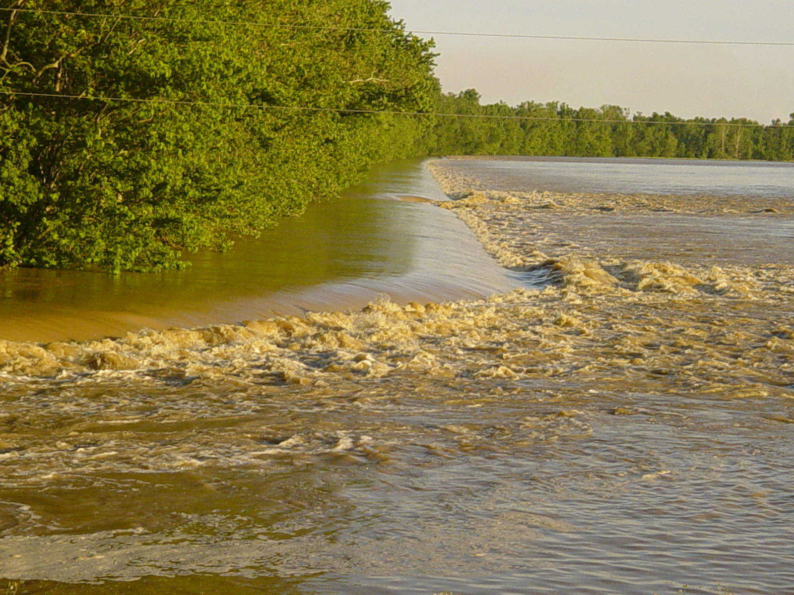
 Breaching levee just west of Elnora (Submitted by Caleb Pope of Linton)
 -
 Junction 58/67 north of Freelandville (Submitted by Caleb Pope of Linton)
 -
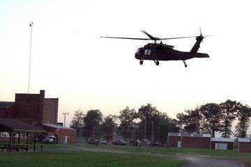 Blackhawk helicopter that transported Indiana Gov. Mitch Daniels to Worthington. (Submitted by Caleb Pope of Linton)
 -
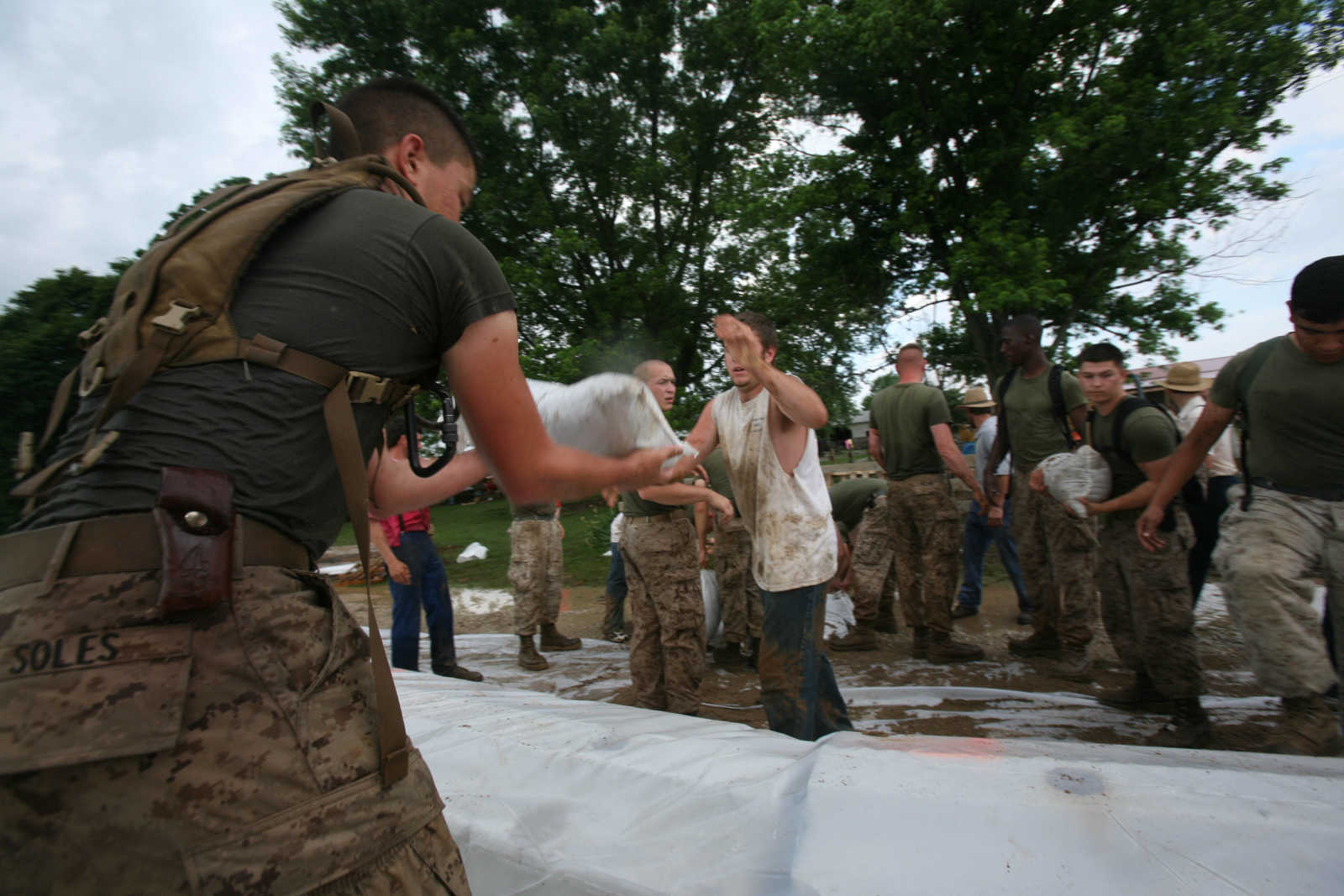 U.S. Marine Corps Private First Class Cody M. Soles of Headquarters and Service Company, Battalion Landing Team 2/6, 26th Marine Expeditionary Unit catches a sand bag to reinforce a levee June 9, 2008, in Elnora. The 26th MEU was requested by local authorities in Elnora to provide support to reinforce the levees from flooding from the White River. (Official USMC photo by Lance Cpl. Patrick M. Johnson-Campbell)
 -
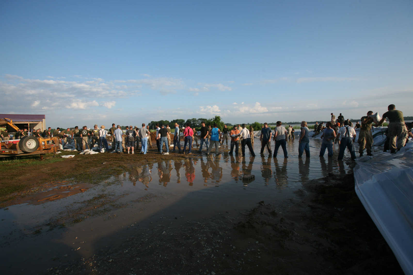 Local residents of Elnora, Marines and Sailors of 26th Marine Expeditionary Unit and soldiers from Indiana National Guard stack sand bags to reinforce the levees from cresting of the White River June 9, 2008, in Elnora, Ind. The 26th MEU was requested by local authorities in Elnora to provide support. (Official USMC photo by Lance Cpl. Patrick M. Johnson-Campbell.)
 -
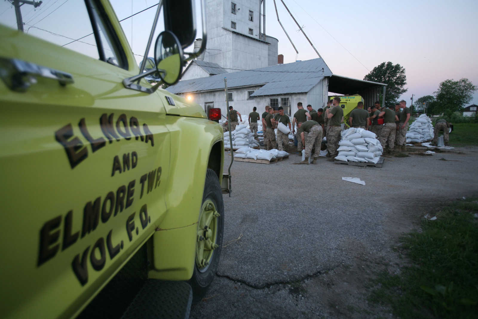 Marines and Sailors of Battalion Landing Team 2/6, 26th Marine Expeditionary Unit fill sand bags June 9, 2008, in Elnora, Ind. The 26th MEU was requested by local authorities in Elnora to provide support to reinforce the levees from flooding of the White River. (Official USMC photo by Lance Cpl. Patrick M. Johnson-Campbell)
 -
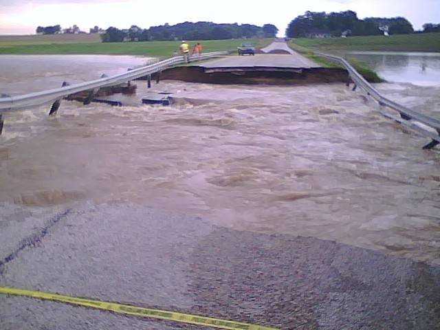
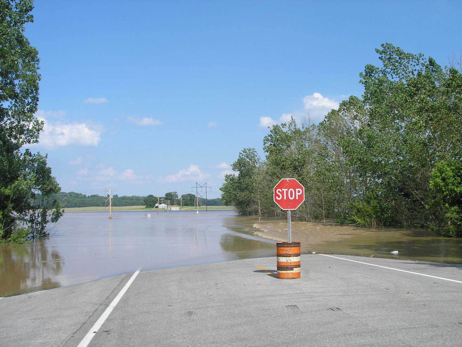
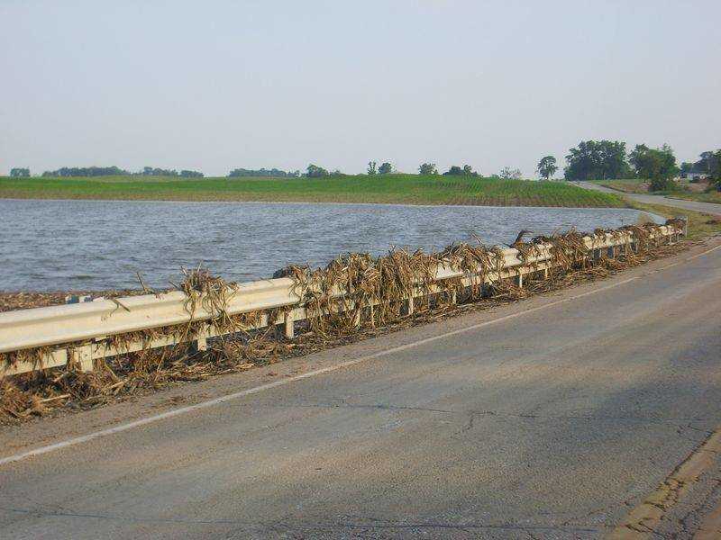
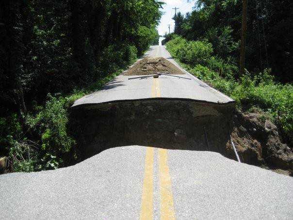
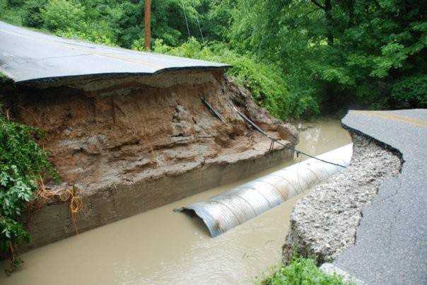
 State Road 58, south of Elnora, is washed out. (Submitted by Jason Miller of Linton)
 -
 A large section of State Road 58, south of Elnora, has been washed out by flood waters. (Submitted by Jason Miller of Linton)
 -
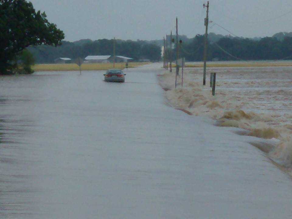
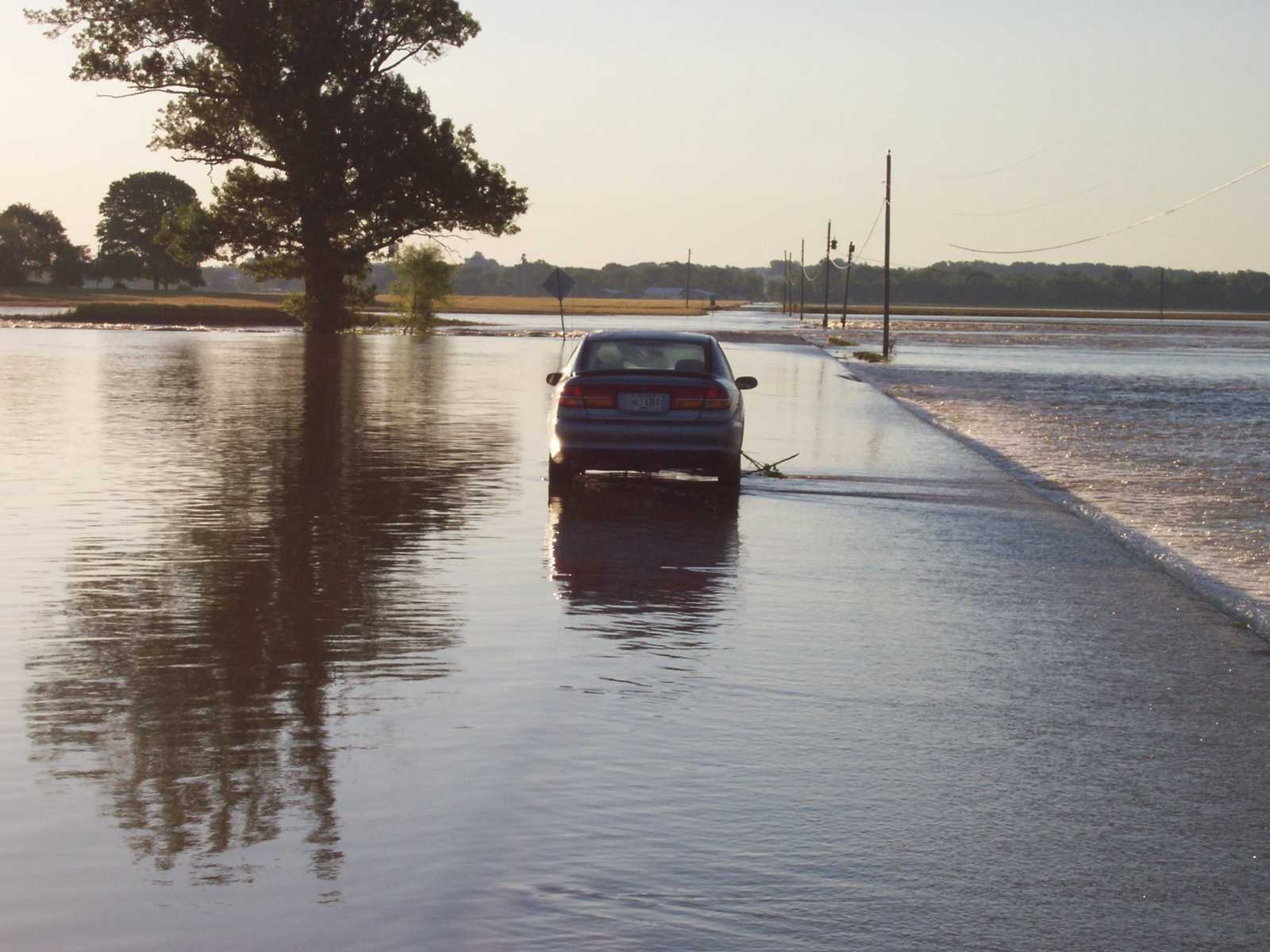 A car makes its way across flood water covered State Road 58 in northern Daviess County. (Submitted by Jason Miller of Linton)
 -
 State Road 58 near Elnora (Submitted by Jason Miller of Linton)
 -
 Flood water flowing over State Road 58 near Elnora. (Submitted by Jason Miller of Linton)
 -
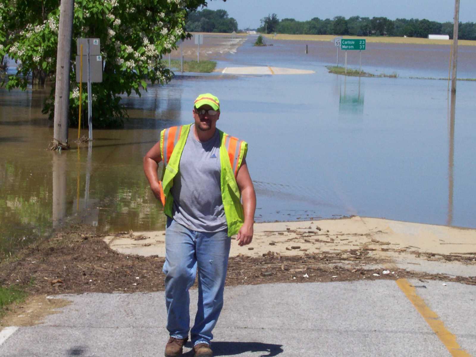 A Indiana Department of Transportation worker on State Road 58 near Elnora. The road is water covered in the background. (Submitted by Jason Miller of Linton)
 -
 A car slowly tries to pass over State Road 58 near Elnora. (Submitted by Jason Miller of Linton)
 -
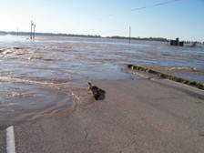
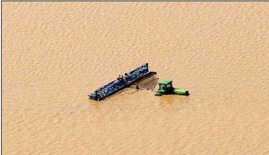
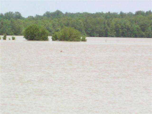 This is a deer out in the water on the east side of the Elnora bridge. The deer was heading west towards the river so I'm sure that it didn't make it. (Submitted by Cleta Shake)
 -
 Taken Wednesday, June 11th on the highway between Sandborn and Elnora. (Submitted by Dee Lacy)
 -
 Taken on Wednesday, June 11th on the highway between Sandborn and Elnora. (Submitted by Dee Lacy)
 -
 Taken on Wednesday, June 11th on the highway between Sandborn and Elnora. (Submitted by Dee Lacy)
 -
 Taken on the road between Sandborn and Elnora. (Submitted by Dee Lacy)
 -
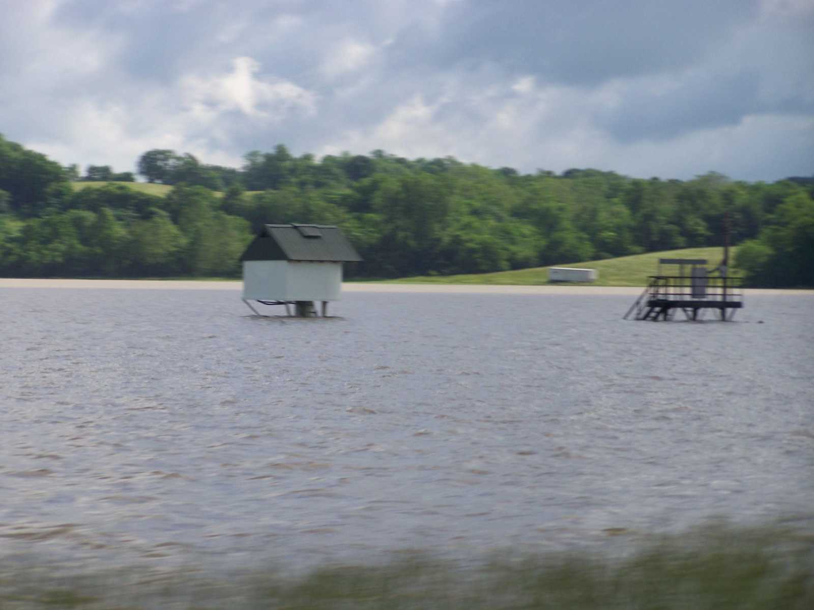
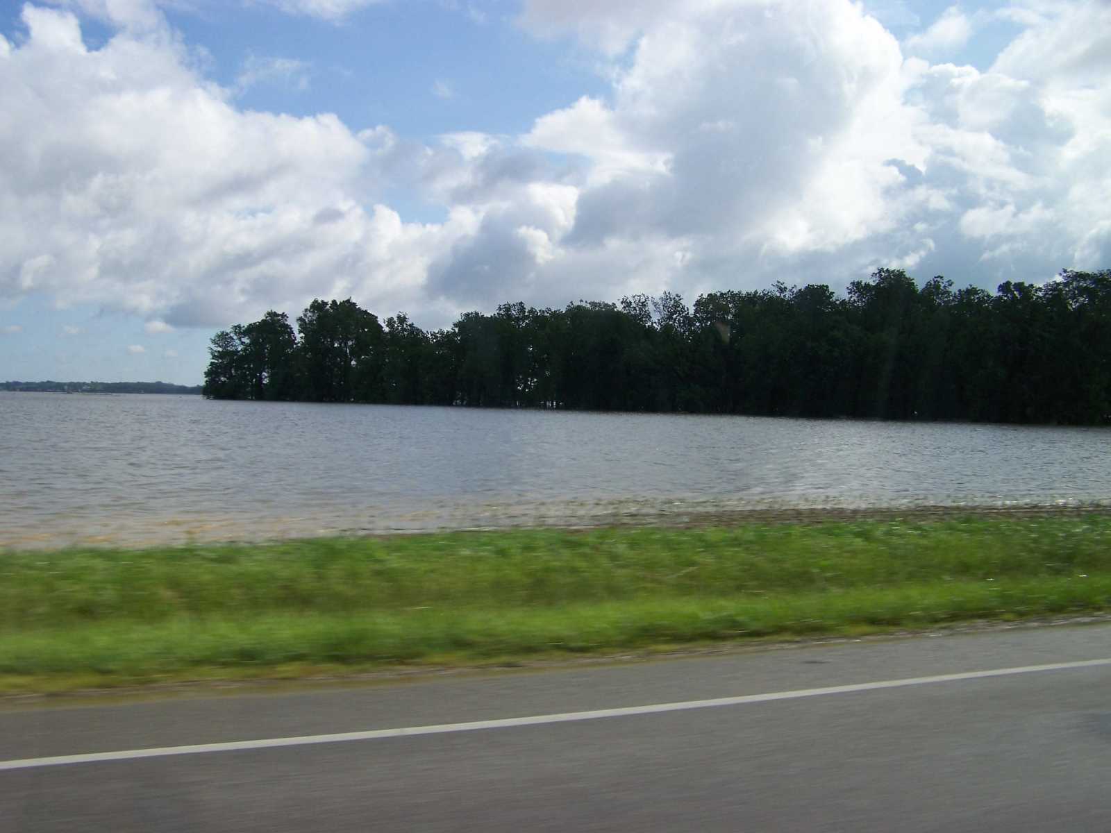
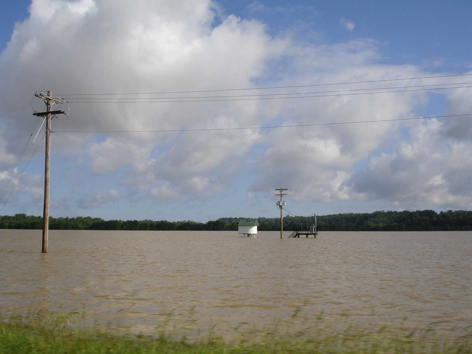
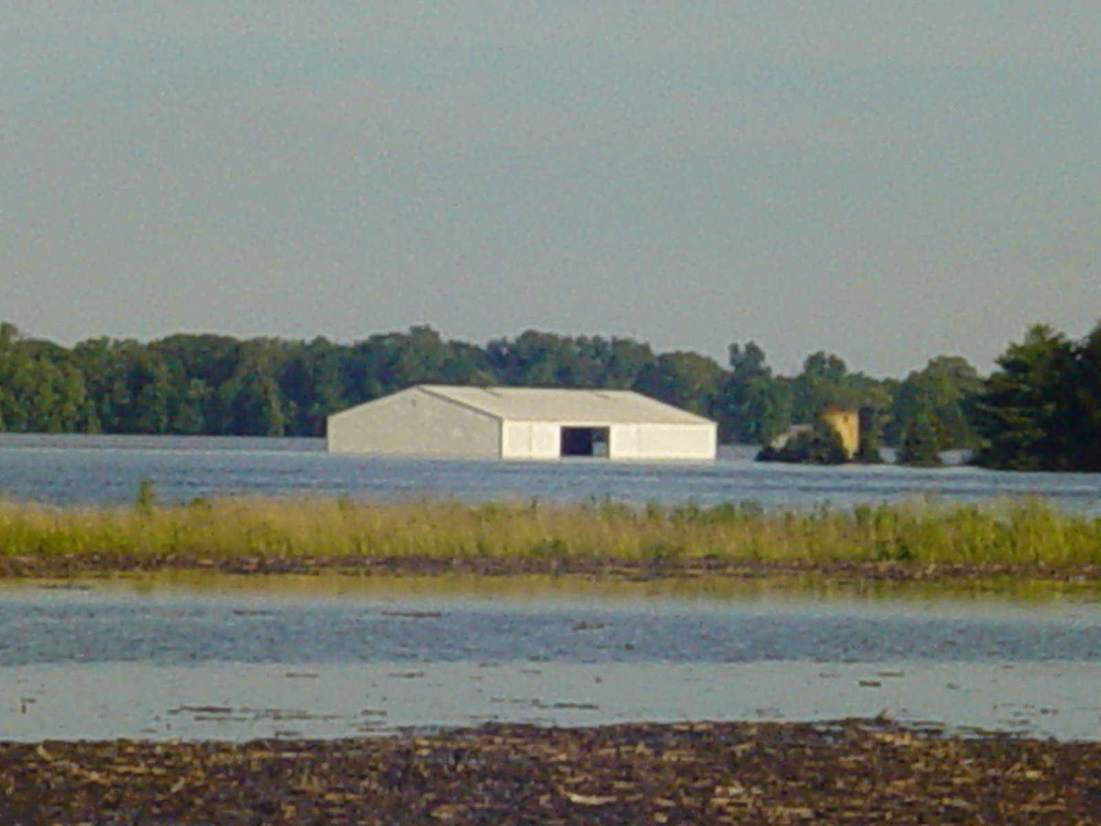
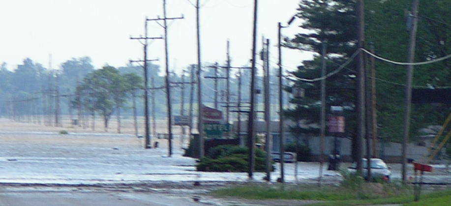
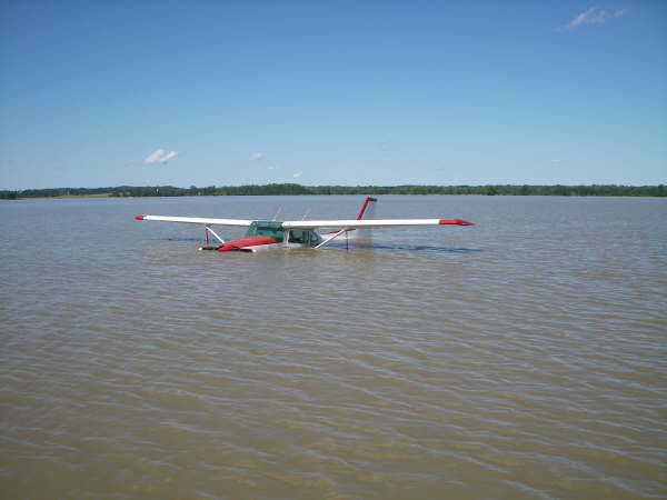
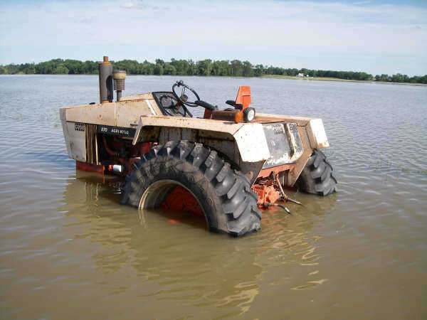
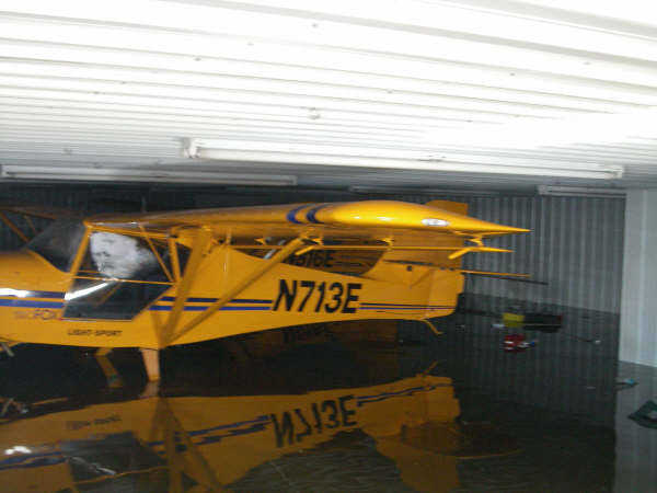
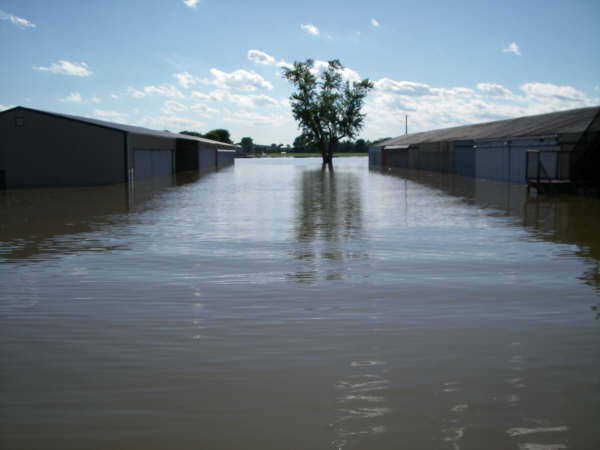
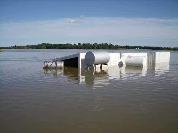
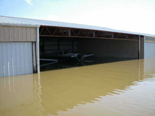
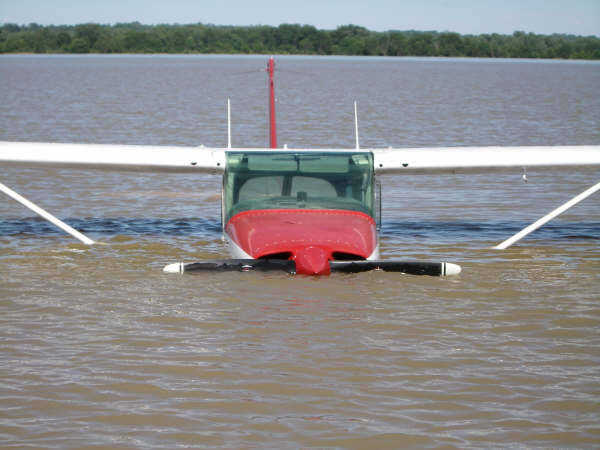
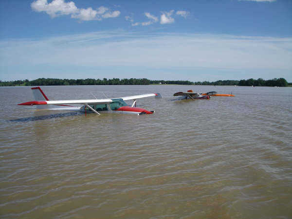
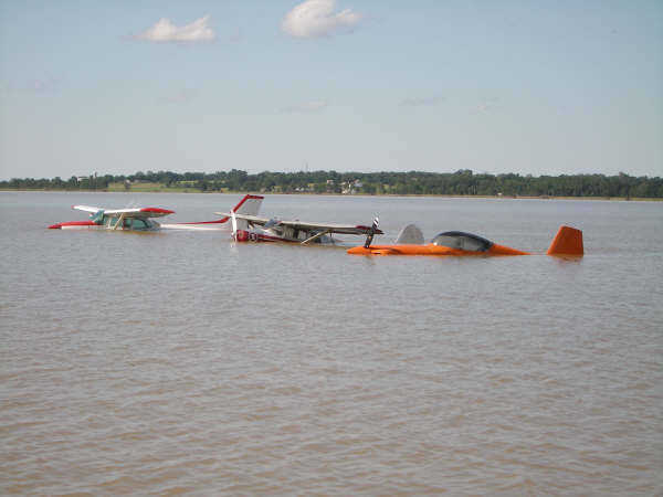
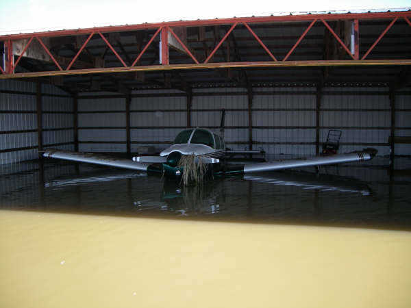
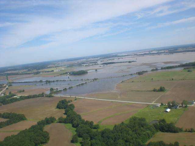
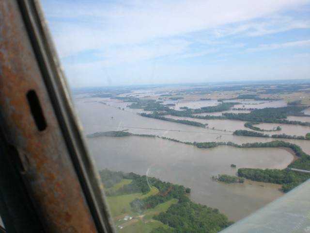
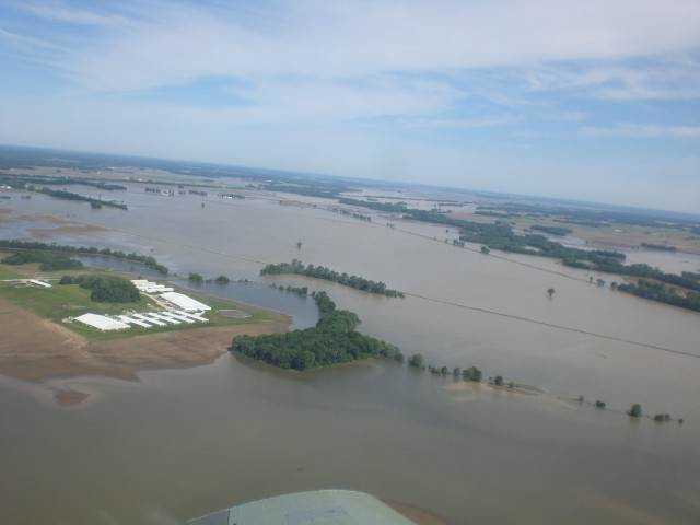
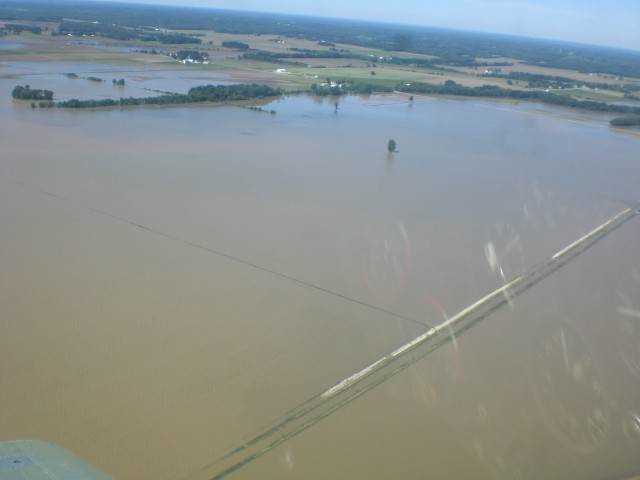
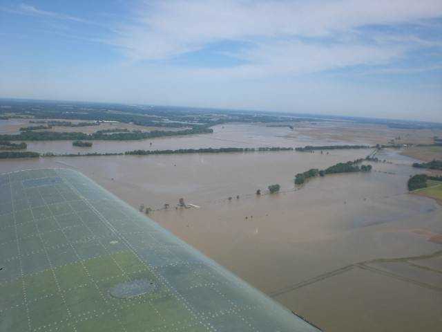
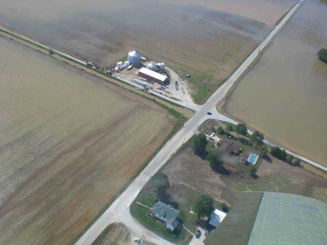
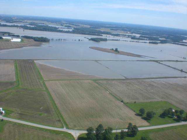
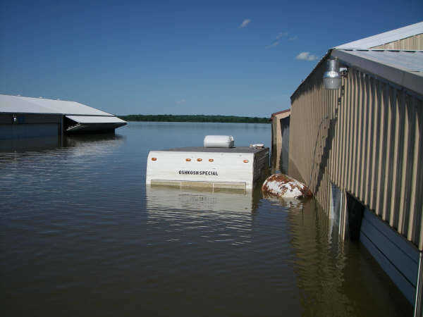 Flooded scene from Shawnee Airport, located west of Bloomfield near the State Road 54/State Road 57 (US 231) junction. (Submitted by Dr. Pete Powers)
 -
 Flooded scene from Shawnee Airport, located west of Bloomfield near the State Road 54/State Road 57 (US 231) junction. Taken 6/10/08. (Submitted by Dr. Pete Powers)
 -
 Flooded scene from Shawnee Airport, located west of Bloomfield near the State Road 54/State Road 57 (US 231) junction. Taken 6/10/08. (Submitted by Dr. Pete Powers)
 -
 Flooded scene from Shawnee Airport, located west of Bloomfield near the State Road 54/State Road 57 (US 231) junction. Taken 6/10/08. (Submitted by Dr. Pete Powers)
 -
 Flooded scene from Shawnee Airport, located west of Bloomfield near the State Road 54/State Road 57 (US 231) junction. Taken 6/10/08. (Submitted by Dr. Pete Powers)
 -
 Flooded scene from Shawnee Airport, located west of Bloomfield near the State Road 54/State Road 57 (US 231) junction. Taken 6/10/08. (Submitted by Dr. Pete Powers)
 -
 Flooded scene from Shawnee Airport, located west of Bloomfield near the State Road 54/State Road 57 (US 231) junction. Taken 6/10/08. (Submitted by Dr. Pete Powers)
 -
 Flooded scene from Shawnee Airport, located west of Bloomfield near the State Road 54/State Road 57 (US 231) junction. Taken 6/10/08. (Submitted by Dr. Pete Powers)
 -
 Flooded scene from Shawnee Airport, located west of Bloomfield near the State Road 54/State Road 57 (US 231) junction. Taken 6/10/08. (Submitted by Dr. Pete Powers)
 -
 Flooded scene from Shawnee Airport, located west of Bloomfield near the State Road 54/State Road 57 (US 231) junction. Taken 6/10/08. (Submitted by Dr. Pete Powers)
 -
 Flooded scene from Shawnee Airport, located west of Bloomfield near the State Road 54/State Road 57 (US 231) junction. Taken 6/10/08. (Submitted by Dr. Pete Powers)
 -
 Flooded scene from Shawnee Airport, located west of Bloomfield near the State Road 54/State Road 57 (US 231) junction. Taken 6/10/08. (Submitted by Dr. Pete Powers)
 -
 Flooded scene from Shawnee Airport, located west of Bloomfield near the State Road 54/State Road 57 (US 231) junction. Taken 6/10/08. (Submitted by Dr.)
 -
 Flooded scene from Shawnee Airport, located west of Bloomfield near the State Road 54/State Road 57 (US 231) junction. Taken 6/10/08. (Submitted by Dr. Pete Powers)
 -
 Flooded scene from Shawnee Airport, located west of Bloomfield near the State Road 54/State Road 57 (US 231) junction. Taken 6/10/08. (Submitted by Dr. Pete Powers)
 -
 Flooded scene from Shawnee Airport, located west of Bloomfield near the State Road 54/State Road 57 (US 231) junction. Taken 6/10/08. (Submitted by Dr. Pete Powers)
 -
 Flooded scene from Shawnee Airport, located west of Bloomfield near the State Road 54/State Road 57 (US 231) junction. Taken 6/10/08. (Submitted by Dr. Pete Powers)
 -
 Flooded scene from Shawnee Airport, located west of Bloomfield near the State Road 54/State Road 57 (US 231) junction. Taken 6/10/08. (Submitted by Dr. Pete Powers)
 -
 Picture taken looking west out of Worthington on Terre Haute Road. (Submitted by Julie Decker)
 -
 Picture taken looking east out of Worthington on Terre Haute Road. (Submitted by Julie Decker)
 -
 Picture taken looking west out of Worthington on Terre Haute Road. (Submitted by Julie Decker)
 -
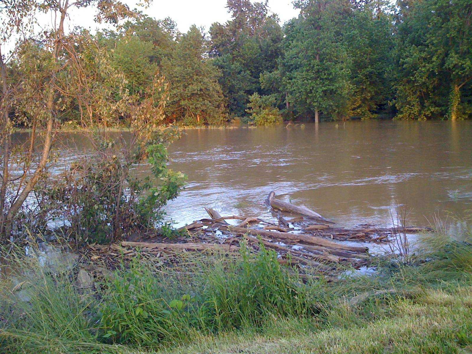
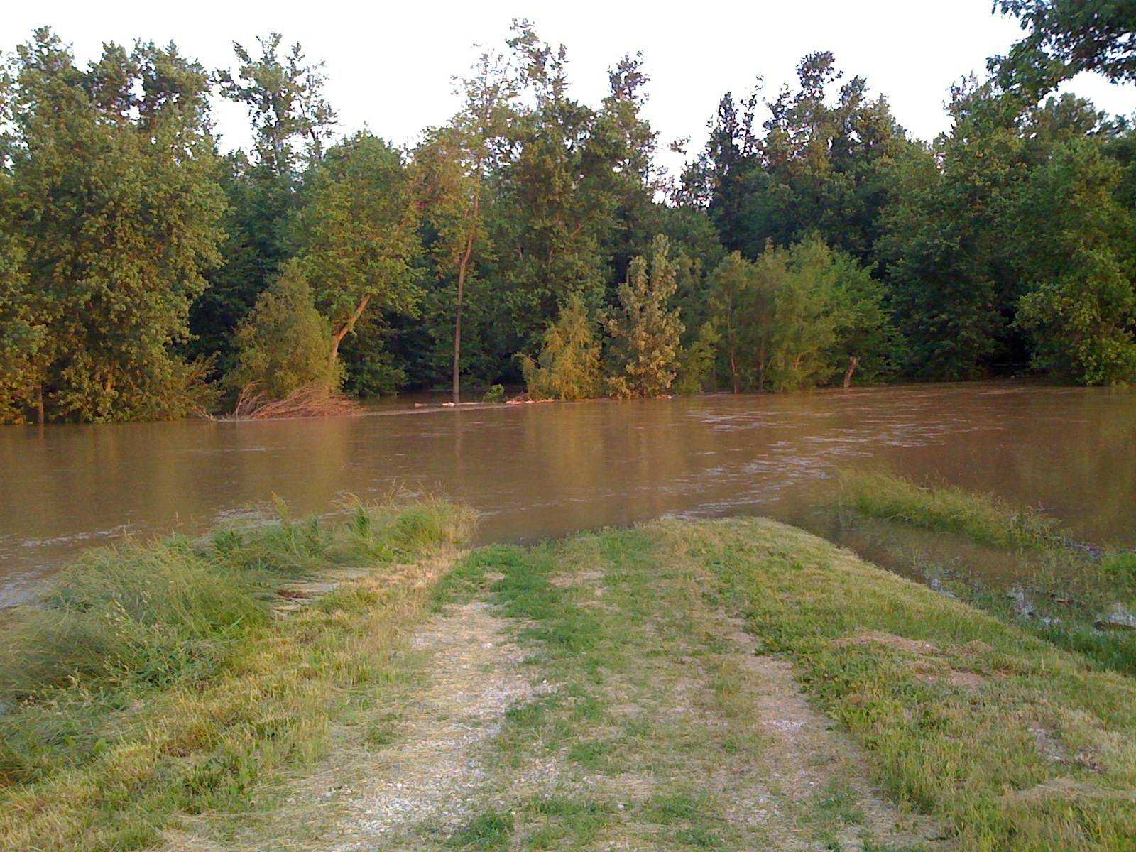
 (Submitted by Jenny Page)
 -
 CR 800W and SR 48 looking at Greene-Clay county line. (Submitted by Gary Green)
 -
 Greene-Clay County line in Smith Township. (Submitted by Gary Green)
 -
 State Road 48 just east of Lone Tree Road (Submitted by Gary Green)
 -
 Lone Tree Road. (Submitted by Gary Green)
 -
 Southern Clay County on State Road 59. (Submitted by Gary Green)
 -
 Cooprider Farm on State Road 59 just north of Greene-Clay county line. (Submitted by Gary Green)
 -
 The Green farm, CR 800W and State Road 48 in Smith Township. (Submitted by Gary Green)
 -
 A tractor and a planter. (Submitted by Gary Green)
 -
 Taken at the corner of Hwy 59 and Lone Tree Road. (Submitted by Chad Green)
 -
 This picture was taken on June 13, 2008 This is the train track along SR 67 south of Worthington. The track was washed away by the water current.
 -
 This is right before you get to the flashers at 54 &57 (facing towards Switz City). To the right of the road should be a field. (Submitted by Krista Parsons)
 -
 A field right before you get to the flashers at 54 &57 (facing towards Switz City.
 -
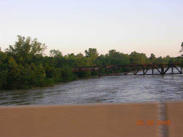 Going across the bridge into Bloomfield (Submitted by Krista Parsons)
 -
 Field showing Eastern Heights' pumping station after you cross the bridge leavign Bloomfield -- before the river crested. (Submitted by Krista Parsons)
 -
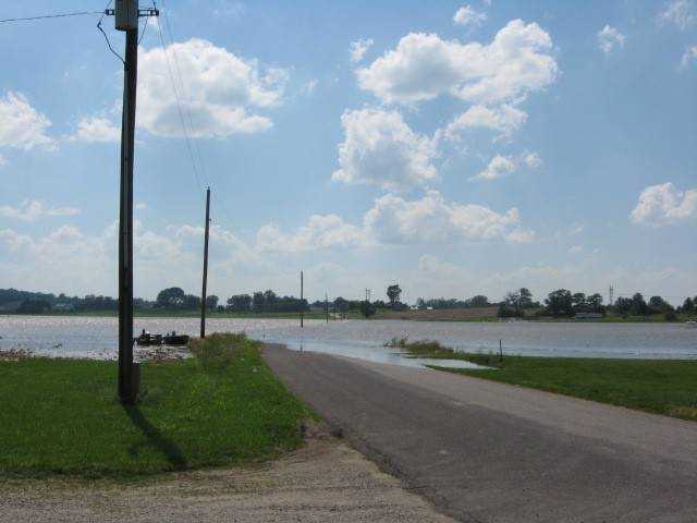
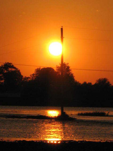
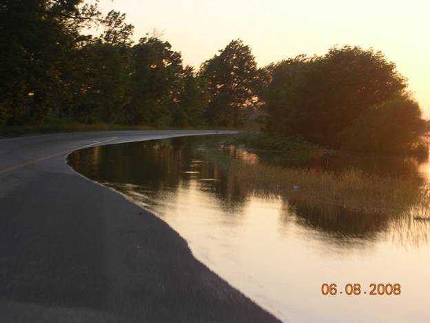
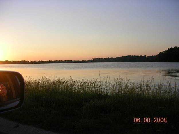
 Sunset over the long straight away from Bloomfield to Switz City, before the bridge. (Submitted by Krista Parsons)
 -
 The Terre Haute South Vigo baseball team parked by the ball field and took a bus to the Evansville Semi-State on Saturday 6/7/08. This is what they came home to. (Submitted by Kevin Bland)
 -
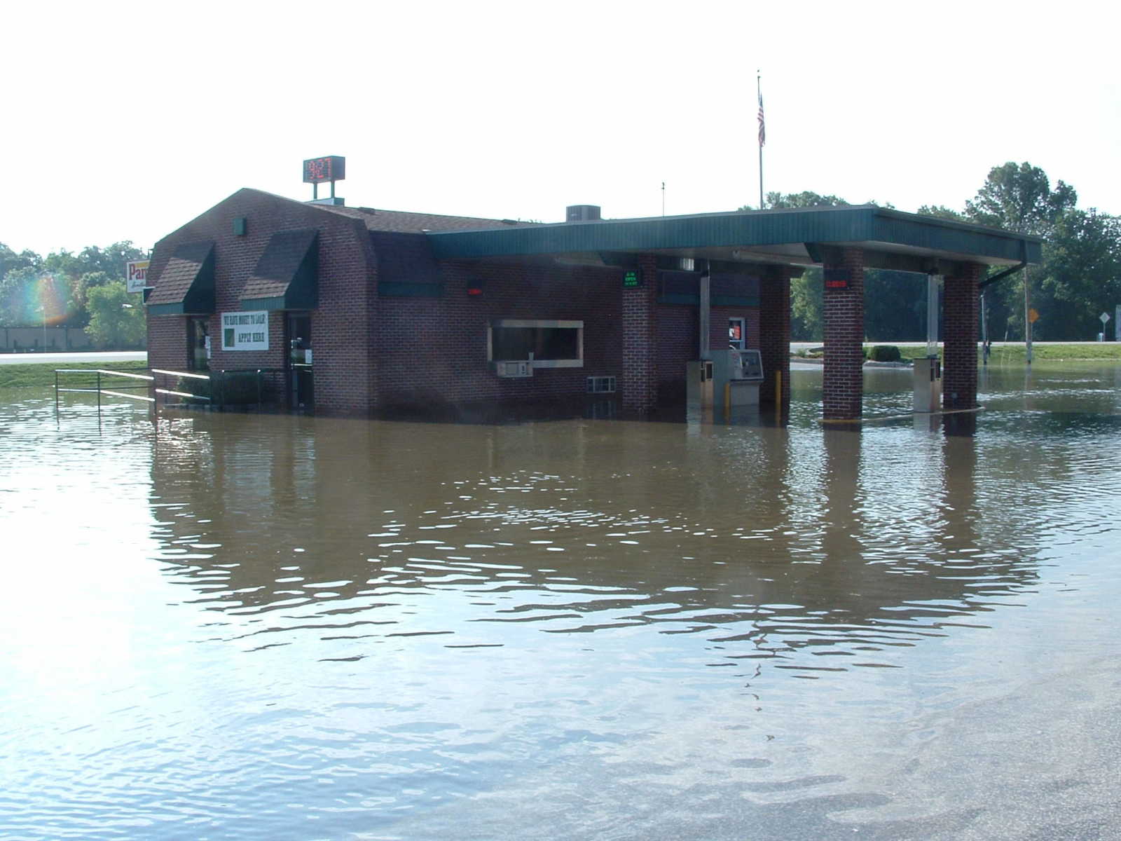
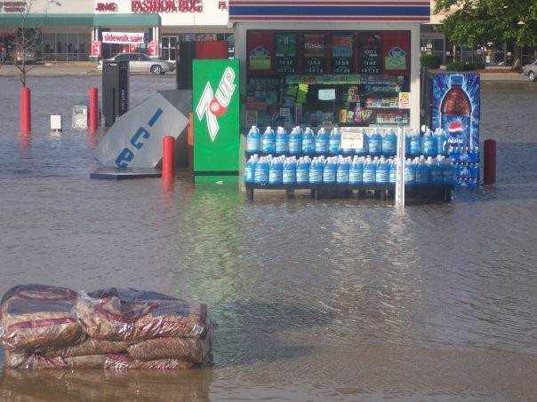 Kroger gas station on south 3rd in Terre Haute. (Submitted by Kevin Bland.)
 -
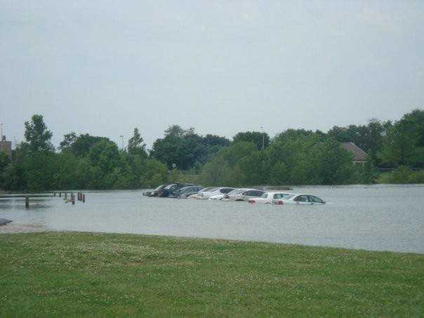
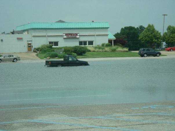 Parking lot near Outback in Terre Haute. (Submitted by Kevin Bland)
 -
 Boat to ferry people across from nursing home across from Walmart. (Submitted by Kevin Bland)
 -
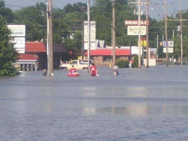 Springhill Drive between 3rd and 7th streets in Terre Haute. (Submitted by Kevin Bland.)
 -
 Near West Terre Haute (Submitted by Kevin Bland.)
 -
 West Terre Haute. When the waters went down, a lot of roads were left like this. (Submitted by Kevin Bland.)
 -
 Feree Road near Idle Creek in Vigo County. (Submitted by Kevin Bland.)
 -
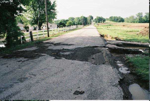
 Woodsmall Road collapsed in Vigo County. (Submitted by Kevin Bland.)
 -
 Woodsmall Road collapsed in Vigo County. (Submitted by Kevin Bland.)
 -
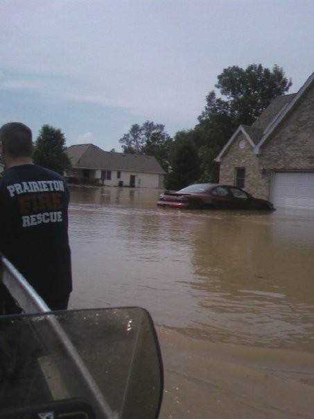 Subdivision near Prairieton in Vigo County. (Submitted by Kevin Bland.)
 -
 Greene County flooding 2008. (Submitted by Kerry Graves)
 -
 Greene County flooding 2008. (Submitted by Kerry Graves)
 -
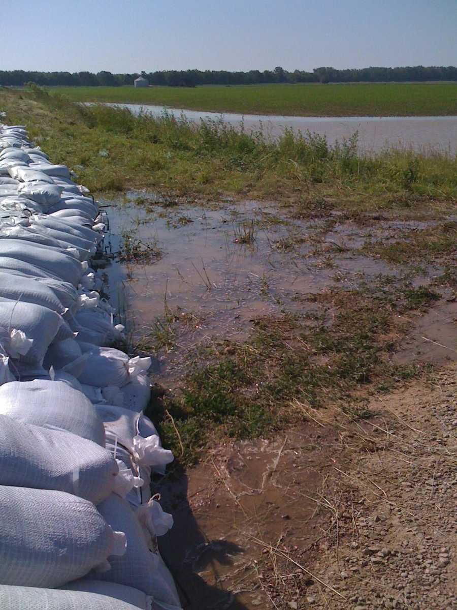 McGinnis Levee sandbagged nears Lyons. (Submitted by Kerry Graves)
 -
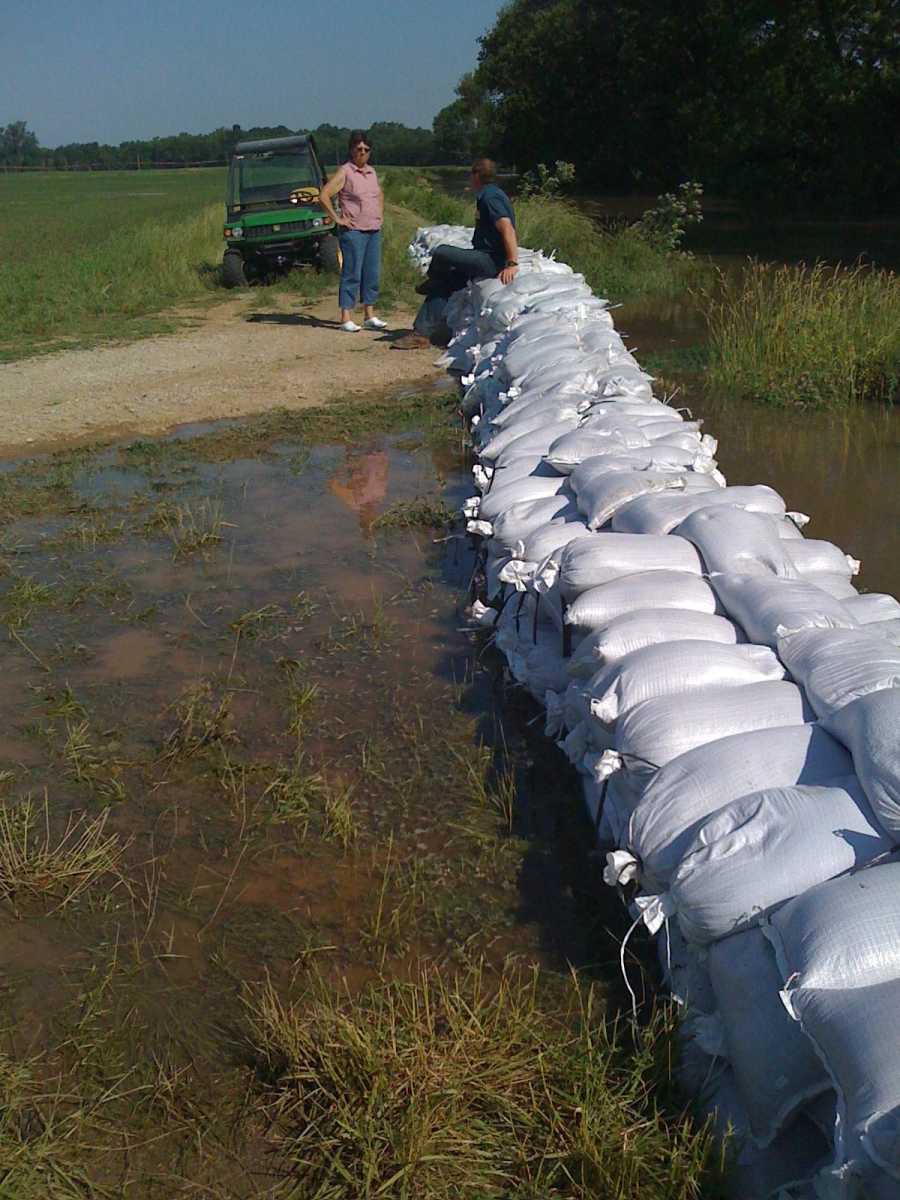 Sandbagging in Greene County near McGinnis Levee. (Submitted by Kerry Graves)
 -
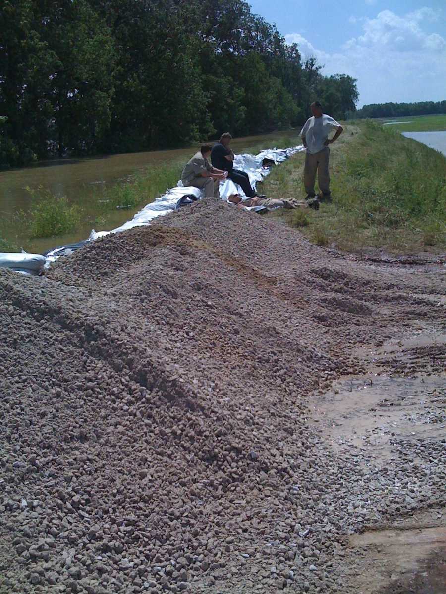 McGinnis Levee near Lyons. (Submitted by Kerry Graves)
 -
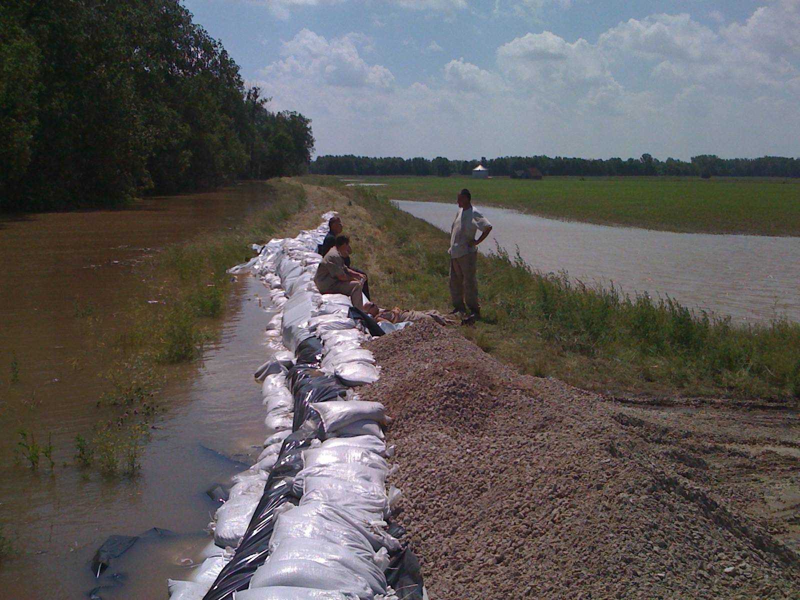 McGinnis Levee sandbagged near Lyons. (Submitted by Kerry Graves)
- Email link
- Contact editor
- Report error
- Share: